Roxboro geodata
Roxboro (North Carolina) is a seat of a second-order administrative division; located in United States in America/New_York (GMT-4) time zone. With population of 8,334 people, there are 5114 cities with bigger population in this country. Compared to other cities in United States, 68.5% of cities are located further ↑North; 75.7% of cities are located further ←West and 55.4% of cities have lower elevation than Roxboro. Note1
Administrative division(s):
- Level 1: North Carolina
- Level 2: Person County
- Level 3: Township of Roxboro


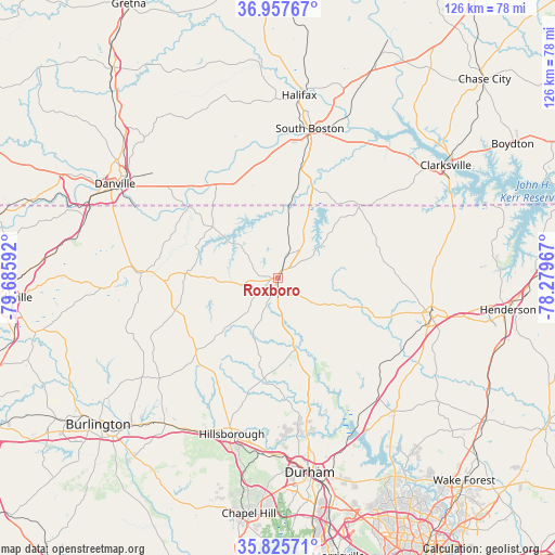
Roxboro GPS coordinates[2]
36° 23' 37.5" North, 78° 58' 58.044" West
| Map corner | latitude | longitude |
|---|---|---|
| Upper-left | 36.95767°, | -79.68592° |
| Center: | 36.39375°, | -78.98279° |
| Lower-right: | 35.82571°, | -78.27967° |
| Map W x H: | 125.9×125.9 km | = 78.2×78.2mi |
| max Lat: | 71.29058° ⇑68.5% North |
| Roxboro: | 36.39375° |
| min Lat: | ⇓31.5% South 19.06759° |
| min Long | Roxboro | max Long |
| -171.73463° | -78.98279° | -66.98998° |
| W 75.7%⇐ | ⇒24.3% E |
Elevation
Elevation of Roxboro is 220 m = 722 ft, and this is 74.8 m = 245 ft below average elevation for this country.
| Max E: |
3189 m = 10463 ft | 44.6% |
| Avg. | 294.8 m = 967 ft | |
| Roxboro | 220 m = 722 ft | |
Min E: |
-60 m = -197 ft | 55.4% |
See also: United States elevation on elevation.city.
Geographical zone
Roxboro is located in North temperate zone (between Tropic of Cancer and the Arctic Circle). Distance of this Northern Tropic circle is 1440.7 km =895.2 mi to South.| Distance of | km | miles | from Roxboro |
|---|---|---|---|
| North Pole | 5960.5 | 3703.7 | to North |
| Arctic Circle | 3354.6 | 2084.5 | to North |
| Tropic Cancer | 1440.7 | 895.2 | to South |
| Equator | 4046.6 | 2514.4 | to South |


Nearby cities:
15 places around Roxboro: (largest is in red/bold)
• Butner
35.5 km =22.1 mi,  145°
145°
• Cluster Springs
25.8 km =16 mi,  12°
12°
• Creedmoor
40.2 km =25 mi,  138°
138°
• Efland
38.6 km =24 mi,  205°
205°
• Gorman
42.2 km =26.2 mi,  160°
160°
• Halifax
41.7 km =25.9 mi, 6°
• Hillsborough
36.9 km =22.9 mi,  196°
196°
• Mebane
41.8 km =26 mi,  217°
217°
• Mountain Road
40.7 km =25.3 mi,  359°
359°
• Oxford
36.3 km =22.6 mi,  104°
104°
• Riverdale
33.5 km =20.8 mi, 12°
• Rougemont
20.1 km =12.5 mi,  165°
165°
• South Boston
34.7 km =21.6 mi, 12°
• Woodlawn
42.2 km =26.2 mi, 221°
• Yanceyville
31.6 km =19.6 mi,  272°
272°
Sources, notices
• [Note1] Compared only with cities in United States existing in our database
• [Src1] Map data: © OpenStreetMap contributors (CC-BY-SA)
• [Src2] Other city data from geonames.org with taken over terms of usage.
• [Src3] Geographical zone / Annual Mean Temperature by Robert A. Rohde @ Wikipedia
