Fair Garden geodata
Fair Garden (Tennessee) is a populated place; located in United States in America/New_York (GMT-4) time zone. With population of 529 people, there are 20514 cities with bigger population in this country. Compared to other cities in United States, 70.9% of cities are located further ↑North; 60.8% of cities are located further ←West and 78.4% of cities have lower elevation than Fair Garden. Note1


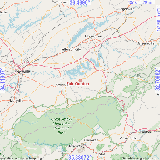
Fair Garden GPS coordinates[2]
35° 54' 8.316" North, 83° 24' 46.584" West
| Map corner | latitude | longitude |
|---|---|---|
| Upper-left | 36.4698°, | -84.11607° |
| Center: | 35.90231°, | -83.41294° |
| Lower-right: | 35.33072°, | -82.70982° |
| Map W x H: | 126.7×126.7 km | = 78.7×78.7mi |
| max Lat: | 71.29058° ⇑70.9% North |
| Fair Garden: | 35.90231° |
| min Lat: | ⇓29.1% South 19.06759° |
| min Long | Fair Garden | max Long |
| -171.73463° | -83.41294° | -66.98998° |
| W 60.8%⇐ | ⇒39.2% E |
Elevation
Elevation of Fair Garden is 339 m = 1112 ft, and this is 44.2 m = 145 ft above average elevation for this country.
| Max E: |
3189 m = 10463 ft | 21.6% |
| Fair Garden | 339 m 1112 ft | |
| Avg. | 294.8 m = 967 ft | |
Min E: |
-60 m = -197 ft | 78.4% |
See also: United States elevation on elevation.city.
Geographical zone
Fair Garden is located in North temperate zone (between Tropic of Cancer and the Arctic Circle). Distance of this Northern Tropic circle is 1386 km =861.2 mi to South.| Distance of | km | miles | from Fair Garden |
|---|---|---|---|
| North Pole | 6015.1 | 3737.6 | to North |
| Arctic Circle | 3409.2 | 2118.4 | to North |
| Tropic Cancer | 1386 | 861.2 | to South |
| Equator | 3992 | 2480.5 | to South |


Nearby cities:
15 places around Fair Garden: (largest is in red/bold)
• Blaine
38.3 km =23.8 mi,  316°
316°
• Dandridge
12.6 km =7.8 mi,  359°
359°
• Gatlinburg
22.7 km =14.1 mi,  203°
203°
• Jefferson City
25.5 km =15.8 mi,  343°
343°
• Mascot
34.8 km =21.6 mi,  300°
300°
• Morristown
36.2 km =22.5 mi,  17°
17°
• New Market
25.7 km =16 mi,  330°
330°
• Newport
21.5 km =13.4 mi,  70°
70°
• Pigeon Forge
18 km =11.2 mi,  225°
225°
• Pittman Center
16 km =9.9 mi,  174°
174°
• Rutledge
43.1 km =26.8 mi,  347°
347°
• Sevierville
13.9 km =8.6 mi,  254°
254°
• Seymour
28.1 km =17.5 mi,  267°
267°
• White Pine
25.5 km =15.8 mi,  26°
26°
• Wildwood
42.7 km =26.5 mi,  255°
255°
Sources, notices
• [Note1] Compared only with cities in United States existing in our database
• [Src1] Map data: © OpenStreetMap contributors (CC-BY-SA)
• [Src2] Other city data from geonames.org with taken over terms of usage.
• [Src3] Geographical zone / Annual Mean Temperature by Robert A. Rohde @ Wikipedia
