Arrington geodata
Arrington (Virginia) is a populated place; located in United States in America/New_York (GMT-4) time zone. With population of 708 people, there are 18595 cities with bigger population in this country. Compared to other cities in United States, 63.3% of cities are located further ↑North; 76% of cities are located further ←West and 54.9% of cities have lower elevation than Arrington. Note1


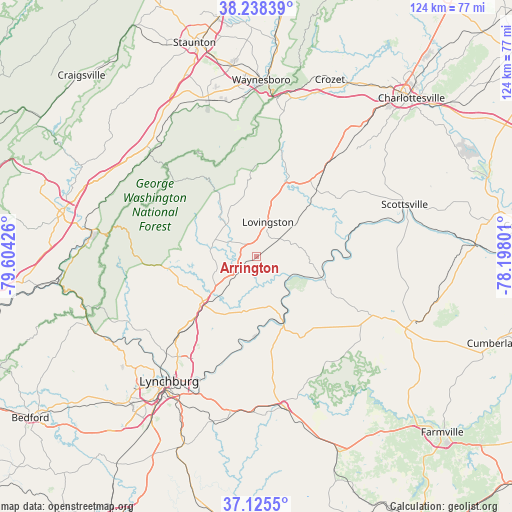
Arrington GPS coordinates[2]
37° 41' 2.508" North, 78° 54' 4.068" West
| Map corner | latitude | longitude |
|---|---|---|
| Upper-left | 38.23839°, | -79.60426° |
| Center: | 37.68403°, | -78.90113° |
| Lower-right: | 37.1255°, | -78.19801° |
| Map W x H: | 123.7×123.7 km | = 76.9×76.9mi |
| max Lat: | 71.29058° ⇑63.3% North |
| Arrington: | 37.68403° |
| min Lat: | ⇓36.7% South 19.06759° |
| min Long | Arrington | max Long |
| -171.73463° | -78.90113° | -66.98998° |
| W 76%⇐ | ⇒24% E |
Elevation
Elevation of Arrington is 218 m = 715 ft, and this is 76.8 m = 252 ft below average elevation for this country.
| Max E: |
3189 m = 10463 ft | 45.1% |
| Avg. | 294.8 m = 967 ft | |
| Arrington | 218 m = 715 ft | |
Min E: |
-60 m = -197 ft | 54.9% |
See also: United States elevation on elevation.city.
Geographical zone
Arrington is located in North temperate zone (between Tropic of Cancer and the Arctic Circle). Distance of this Northern Tropic circle is 1584.2 km =984.4 mi to South.| Distance of | km | miles | from Arrington |
|---|---|---|---|
| North Pole | 5817 | 3614.5 | to North |
| Arctic Circle | 3211.1 | 1995.3 | to North |
| Tropic Cancer | 1584.2 | 984.4 | to South |
| Equator | 4190.1 | 2603.6 | to South |


Nearby cities:
15 places around Arrington: (largest is in red/bold)
• Amherst
17.2 km =10.7 mi,  230°
230°
• Appomattox
37 km =23 mi,  169°
169°
• Buckingham
33.9 km =21.1 mi,  116°
116°
• Buena Vista
40.2 km =25 mi,  277°
277°
• Concord
38.5 km =23.9 mi,  189°
189°
• Esmont
30.6 km =19 mi,  57°
57°
• Lovingston
8.8 km =5.5 mi,  17°
17°
• Lynchburg
36.8 km =22.9 mi,  215°
215°
• Lyndhurst
38.6 km =24 mi,  354°
354°
• Madison Heights
34.3 km =21.3 mi,  214°
214°
• Nellysford
23.1 km =14.4 mi,  6°
6°
• Scottsville
37.9 km =23.5 mi,  70°
70°
• Sherando
33.4 km =20.8 mi, 352°
• Shipman
7 km =4.3 mi,  50°
50°
• West Lynchburg
39.6 km =24.6 mi, 218°
Sources, notices
• [Note1] Compared only with cities in United States existing in our database
• [Src1] Map data: © OpenStreetMap contributors (CC-BY-SA)
• [Src2] Other city data from geonames.org with taken over terms of usage.
• [Src3] Geographical zone / Annual Mean Temperature by Robert A. Rohde @ Wikipedia
