New Windsor geodata
New Windsor (Illinois) is a populated place; located in United States in America/Chicago (GMT-5) time zone. With population of 782 people, there are 17962 cities with bigger population in this country. Compared to other cities in United States, 67.8% of cities are located further ↓South; 60.7% of cities are located further →East and 61.9% of cities have lower elevation than New Windsor. Note1


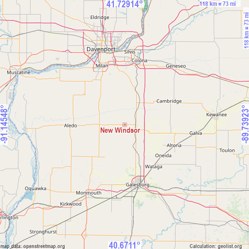
New Windsor GPS coordinates[2]
41° 12' 8.136" North, 90° 26' 32.46" West
| Map corner | latitude | longitude |
|---|---|---|
| Upper-left | 41.72914°, | -91.14548° |
| Center: | 41.20226°, | -90.44235° |
| Lower-right: | 40.6711°, | -89.73923° |
| Map W x H: | 117.6×117.6 km | = 73.1×73.1mi |
| max Lat: | 71.29058° ⇑32.2% North |
| New Windsor: | 41.20226° |
| min Lat: | ⇓67.8% South 19.06759° |
| min Long | New Windsor | max Long |
| -171.73463° | -90.44235° | -66.98998° |
| W 39.3%⇐ | ⇒60.7% E |
Elevation
Elevation of New Windsor is 248 m = 814 ft, and this is 46.8 m = 154 ft below average elevation for this country.
| Max E: |
3189 m = 10463 ft | 38.1% |
| Avg. | 294.8 m = 967 ft | |
| New Windsor | 248 m = 814 ft | |
Min E: |
-60 m = -197 ft | 61.9% |
See also: United States elevation on elevation.city.
Geographical zone
New Windsor is located in North temperate zone (between Tropic of Cancer and the Arctic Circle). Distance of this Northern Tropic circle is 1975.3 km =1227.4 mi to South.| Distance of | km | miles | from New Windsor |
|---|---|---|---|
| North Pole | 5425.8 | 3371.4 | to North |
| Arctic Circle | 2819.9 | 1752.2 | to North |
| Tropic Cancer | 1975.3 | 1227.4 | to South |
| Equator | 4581.3 | 2846.7 | to South |


Nearby cities:
15 places around New Windsor: (largest is in red/bold)
• Alexis
18.1 km =11.2 mi,  211°
211°
• Alpha
5.3 km =3.3 mi,  102°
102°
• Altona
25.2 km =15.7 mi,  112°
112°
• Andover
16.2 km =10.1 mi,  50°
50°
• Cambridge
23.7 km =14.7 mi,  61°
61°
• Coal Valley
25.2 km =15.7 mi,  356°
356°
• Coyne Center
24.5 km =15.2 mi,  336°
336°
• Matherville
15.2 km =9.4 mi,  294°
294°
• Oneida
23.2 km =14.4 mi,  128°
128°
• Orion
17.7 km =11 mi,  16°
16°
• Reynolds
23.8 km =14.8 mi,  306°
306°
• Sherrard
14 km =8.7 mi, 337°
• Viola
12.1 km =7.5 mi,  270°
270°
• Wataga
23.9 km =14.9 mi,  145°
145°
• Woodhull
10.9 km =6.8 mi, 103°
Sources, notices
• [Note1] Compared only with cities in United States existing in our database
• [Src1] Map data: © OpenStreetMap contributors (CC-BY-SA)
• [Src2] Other city data from geonames.org with taken over terms of usage.
• [Src3] Geographical zone / Annual Mean Temperature by Robert A. Rohde @ Wikipedia
