Georgetown geodata
Georgetown (Indiana) is a populated place; located in United States in America/Indiana/Indianapolis (GMT-4) time zone. With population of 4,705 people, there are 7437 cities with bigger population in this country. Compared to other cities in United States, 62.2% of cities are located further ↓South; 51.5% of cities are located further ←West and 54.8% of cities have higher elevation than Georgetown. Note1


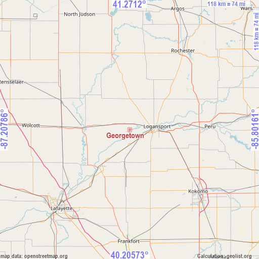
Georgetown GPS coordinates[2]
40° 44' 26.16" North, 86° 30' 17.028" West
| Map corner | latitude | longitude |
|---|---|---|
| Upper-left | 41.2712°, | -87.20786° |
| Center: | 40.7406°, | -86.50473° |
| Lower-right: | 40.20573°, | -85.80161° |
| Map W x H: | 118.5×118.5 km | = 73.6×73.6mi |
| max Lat: | 71.29058° ⇑37.8% North |
| Georgetown: | 40.7406° |
| min Lat: | ⇓62.2% South 19.06759° |
| min Long | Georgetown | max Long |
| -171.73463° | -86.50473° | -66.98998° |
| W 51.5%⇐ | ⇒48.5% E |
Elevation
Elevation of Georgetown is 181 m = 594 ft, and this is 113.8 m = 373 ft below average elevation for this country.
| Max E: |
3189 m = 10463 ft | 54.8% |
| Avg. | 294.8 m = 967 ft | |
| Georgetown | 181 m = 594 ft | |
Min E: |
-60 m = -197 ft | 45.2% |
See also: United States elevation on elevation.city.
Geographical zone
Georgetown is located in North temperate zone (between Tropic of Cancer and the Arctic Circle). Distance of this Northern Tropic circle is 1924 km =1195.5 mi to South.| Distance of | km | miles | from Georgetown |
|---|---|---|---|
| North Pole | 5477.1 | 3403.3 | to North |
| Arctic Circle | 2871.2 | 1784.1 | to North |
| Tropic Cancer | 1924 | 1195.5 | to South |
| Equator | 4529.9 | 2814.7 | to South |


Nearby cities:
15 places around Georgetown: (largest is in red/bold)
• Buffalo
25.7 km =16 mi,  307°
307°
• Burlington
30.4 km =18.9 mi,  162°
162°
• Camden
15 km =9.3 mi,  191°
191°
• Chalmers
31.9 km =19.8 mi,  254°
254°
• Delphi
22.3 km =13.9 mi,  220°
220°
• Dunkirk
9.5 km =5.9 mi,  79°
79°
• Flora
21.6 km =13.4 mi,  184°
184°
• Galveston
32 km =19.9 mi,  124°
124°
• Grissom Air Force Base
31.5 km =19.6 mi,  107°
107°
• Kewanna
31.9 km =19.8 mi,  13°
13°
• Logansport
12.6 km =7.8 mi, 82°
• Monticello
21.9 km =13.6 mi,  271°
271°
• Reynolds
30.9 km =19.2 mi, 271°
• Royal Center
13.8 km =8.6 mi,  1°
1°
• Walton
23.9 km =14.9 mi, 111°
Sources, notices
• [Note1] Compared only with cities in United States existing in our database
• [Src1] Map data: © OpenStreetMap contributors (CC-BY-SA)
• [Src2] Other city data from geonames.org with taken over terms of usage.
• [Src3] Geographical zone / Annual Mean Temperature by Robert A. Rohde @ Wikipedia
