Marquette geodata
Marquette (Michigan) is a seat of a second-order administrative division; located in United States in America/Detroit (GMT-4) time zone. With population of 21,297 people, there are 2369 cities with bigger population in this country. Compared to other cities in United States, 95.9% of cities are located further ↓South; 50.6% of cities are located further →East and 50.7% of cities have lower elevation than Marquette. Note1


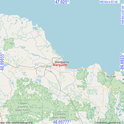
Marquette GPS coordinates[2]
46° 32' 36.744" North, 87° 23' 43.512" West
| Map corner | latitude | longitude |
|---|---|---|
| Upper-left | 47.025°, | -88.09855° |
| Center: | 46.54354°, | -87.39542° |
| Lower-right: | 46.05777°, | -86.6923° |
| Map W x H: | 107.5×107.5 km | = 66.8×66.8mi |
| max Lat: | 71.29058° ⇑4.1% North |
| Marquette: | 46.54354° |
| min Lat: | ⇓95.9% South 19.06759° |
| min Long | Marquette | max Long |
| -171.73463° | -87.39542° | -66.98998° |
| W 49.4%⇐ | ⇒50.6% E |
Elevation
Elevation of Marquette is 201 m = 659 ft, and this is 93.8 m = 308 ft below average elevation for this country.
| Max E: |
3189 m = 10463 ft | 49.3% |
| Avg. | 294.8 m = 967 ft | |
| Marquette | 201 m = 659 ft | |
Min E: |
-60 m = -197 ft | 50.7% |
See also: United States elevation on elevation.city.
Geographical zone
Marquette is located in North temperate zone (between Tropic of Cancer and the Arctic Circle). Distance of this North polar circle is 2226 km =1383.2 mi to North.| Distance of | km | miles | from Marquette |
|---|---|---|---|
| North Pole | 4831.9 | 3002.4 | to North |
| Arctic Circle | 2226 | 1383.2 | to North |
| Tropic Cancer | 2569.2 | 1596.4 | to South |
| Equator | 5175.2 | 3215.7 | to South |


Nearby cities:
15 places around Marquette: (largest is in red/bold)
• Baraga
87.4 km =54.3 mi,  287°
287°
• Crystal Falls
87.5 km =54.4 mi,  235°
235°
• Escanaba
92.3 km =57.4 mi,  163°
163°
• Gladstone
82 km =51 mi, 159°
• Gwinn
29.4 km =18.3 mi,  186°
186°
• Harvey
6.3 km =3.9 mi,  149°
149°
• Ishpeming
21.7 km =13.5 mi,  253°
253°
• K. I. Sawyer Air Force Base
21.9 km =13.6 mi,  178°
178°
• L'Anse
84.1 km =52.3 mi, 286°
• Munising
59 km =36.7 mi,  104°
104°
• Negaunee
17.3 km =10.7 mi, 253°
• Norway
92.8 km =57.7 mi,  204°
204°
• Republic
47 km =29.2 mi, 251°
• Trowbridge Park
3.5 km =2.2 mi, 294°
• West Ishpeming
24.3 km =15.1 mi, 254°
Sources, notices
• [Note1] Compared only with cities in United States existing in our database
• [Src1] Map data: © OpenStreetMap contributors (CC-BY-SA)
• [Src2] Other city data from geonames.org with taken over terms of usage.
• [Src3] Geographical zone / Annual Mean Temperature by Robert A. Rohde @ Wikipedia
