La Prairie geodata
La Prairie (Minnesota) is a populated place; located in United States in America/Chicago (GMT-5) time zone. With population of 659 people, there are 19086 cities with bigger population in this country. Compared to other cities in United States, 97% of cities are located further ↓South; 67.5% of cities are located further →East and 83% of cities have lower elevation than La Prairie. Note1


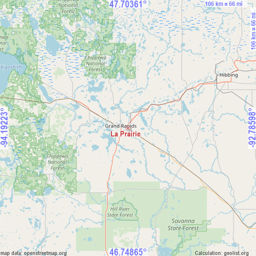
La Prairie GPS coordinates[2]
47° 13' 41.808" North, 93° 29' 20.76" West
| Map corner | latitude | longitude |
|---|---|---|
| Upper-left | 47.70361°, | -94.19223° |
| Center: | 47.22828°, | -93.4891° |
| Lower-right: | 46.74865°, | -92.78598° |
| Map W x H: | 106.2×106.2 km | = 66×66mi |
| max Lat: | 71.29058° ⇑3% North |
| La Prairie: | 47.22828° |
| min Lat: | ⇓97% South 19.06759° |
| min Long | La Prairie | max Long |
| -171.73463° | -93.4891° | -66.98998° |
| W 32.5%⇐ | ⇒67.5% E |
Elevation
Elevation of La Prairie is 391 m = 1283 ft, and this is 96.2 m = 316 ft above average elevation for this country.
| Max E: |
3189 m = 10463 ft | 17% |
| La Prairie | 391 m 1283 ft | |
| Avg. | 294.8 m = 967 ft | |
Min E: |
-60 m = -197 ft | 83% |
See also: United States elevation on elevation.city.
Geographical zone
La Prairie is located in North temperate zone (between Tropic of Cancer and the Arctic Circle). Distance of this North polar circle is 2149.9 km =1335.9 mi to North.| Distance of | km | miles | from La Prairie |
|---|---|---|---|
| North Pole | 4755.8 | 2955.1 | to North |
| Arctic Circle | 2149.9 | 1335.9 | to North |
| Tropic Cancer | 2645.4 | 1643.8 | to South |
| Equator | 5251.3 | 3263 | to South |


Nearby cities:
15 places around La Prairie: (largest is in red/bold)
• Bovey
9.2 km =5.7 mi,  35°
35°
• Buhl
61.1 km =38 mi,  61°
61°
• Chisholm
54 km =33.6 mi, 57°
• Cohasset
10.6 km =6.6 mi,  291°
291°
• Coleraine
8.2 km =5.1 mi,  34°
34°
• Deer River
25.7 km =16 mi,  296°
296°
• Emily
65.7 km =40.8 mi,  212°
212°
• Floodwood
54.5 km =33.9 mi,  127°
127°
• Grand Rapids
3.3 km =2.1 mi, 287°
• Hibbing
47.1 km =29.3 mi, 61°
• Hill City
27.4 km =17 mi,  197°
197°
• Keewatin
36.7 km =22.8 mi, 58°
• Marble
17.7 km =11 mi,  54°
54°
• Nashwauk
29.5 km =18.3 mi, 55°
• Taconite
12.4 km =7.7 mi, 40°
Sources, notices
• [Note1] Compared only with cities in United States existing in our database
• [Src1] Map data: © OpenStreetMap contributors (CC-BY-SA)
• [Src2] Other city data from geonames.org with taken over terms of usage.
• [Src3] Geographical zone / Annual Mean Temperature by Robert A. Rohde @ Wikipedia
