Taconite geodata
Taconite (Minnesota) is a populated place; located in United States in America/Chicago (GMT-5) time zone. With population of 642 people, there are 19249 cities with bigger population in this country. Compared to other cities in United States, 97.2% of cities are located further ↓South; 67.2% of cities are located further →East and 85.1% of cities have lower elevation than Taconite. Note1


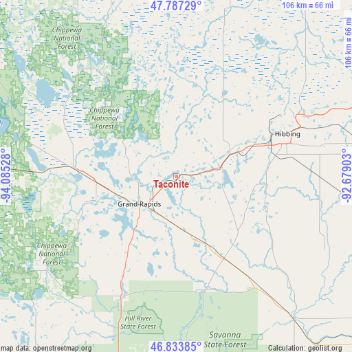
Taconite GPS coordinates[2]
47° 18' 45.792" North, 93° 22' 55.74" West
| Map corner | latitude | longitude |
|---|---|---|
| Upper-left | 47.78729°, | -94.08528° |
| Center: | 47.31272°, | -93.38215° |
| Lower-right: | 46.83385°, | -92.67903° |
| Map W x H: | 106×106 km | = 65.9×65.9mi |
| max Lat: | 71.29058° ⇑2.8% North |
| Taconite: | 47.31272° |
| min Lat: | ⇓97.2% South 19.06759° |
| min Long | Taconite | max Long |
| -171.73463° | -93.38215° | -66.98998° |
| W 32.8%⇐ | ⇒67.2% E |
Elevation
Elevation of Taconite is 427 m = 1401 ft, and this is 132.2 m = 434 ft above average elevation for this country.
| Max E: |
3189 m = 10463 ft | 14.9% |
| Taconite | 427 m 1401 ft | |
| Avg. | 294.8 m = 967 ft | |
Min E: |
-60 m = -197 ft | 85.1% |
See also: United States elevation on elevation.city.
Geographical zone
Taconite is located in North temperate zone (between Tropic of Cancer and the Arctic Circle). Distance of this North polar circle is 2140.5 km =1330 mi to North.| Distance of | km | miles | from Taconite |
|---|---|---|---|
| North Pole | 4746.4 | 2949.3 | to North |
| Arctic Circle | 2140.5 | 1330 | to North |
| Tropic Cancer | 2654.8 | 1649.6 | to South |
| Equator | 5260.7 | 3268.8 | to South |


Nearby cities:
15 places around Taconite: (largest is in red/bold)
• Bovey
3.4 km =2.1 mi,  235°
235°
• Buhl
49.7 km =30.9 mi,  66°
66°
• Chisholm
42.3 km =26.3 mi,  62°
62°
• Cohasset
18.8 km =11.7 mi,  253°
253°
• Coleraine
4.3 km =2.7 mi,  232°
232°
• Deer River
31 km =19.3 mi,  274°
274°
• Floodwood
55.2 km =34.3 mi,  140°
140°
• Grand Rapids
14 km =8.7 mi, 233°
• Hibbing
35.8 km =22.2 mi, 69°
• Hill City
39.1 km =24.3 mi,  204°
204°
• Keewatin
25.3 km =15.7 mi, 67°
• La Prairie
12.4 km =7.7 mi,  220°
220°
• Marble
6.4 km =4 mi,  82°
82°
• Mountain Iron
62.1 km =38.6 mi, 66°
• Nashwauk
17.8 km =11.1 mi, 65°
Sources, notices
• [Note1] Compared only with cities in United States existing in our database
• [Src1] Map data: © OpenStreetMap contributors (CC-BY-SA)
• [Src2] Other city data from geonames.org with taken over terms of usage.
• [Src3] Geographical zone / Annual Mean Temperature by Robert A. Rohde @ Wikipedia
