Nashwauk geodata
Nashwauk (Minnesota) is a populated place; located in United States in America/Chicago (GMT-5) time zone. With population of 968 people, there are 16510 cities with bigger population in this country. Compared to other cities in United States, 97.4% of cities are located further ↓South; 66.6% of cities are located further →East and 86.2% of cities have lower elevation than Nashwauk. Note1


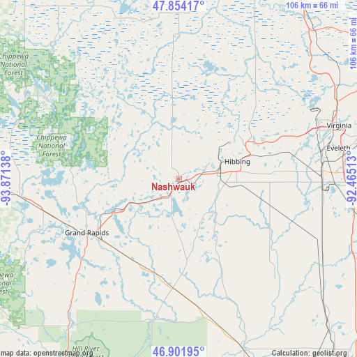
Nashwauk GPS coordinates[2]
47° 22' 48.756" North, 93° 10' 5.7" West
| Map corner | latitude | longitude |
|---|---|---|
| Upper-left | 47.85417°, | -93.87138° |
| Center: | 47.38021°, | -93.16825° |
| Lower-right: | 46.90195°, | -92.46513° |
| Map W x H: | 105.9×105.9 km | = 65.8×65.8mi |
| max Lat: | 71.29058° ⇑2.6% North |
| Nashwauk: | 47.38021° |
| min Lat: | ⇓97.4% South 19.06759° |
| min Long | Nashwauk | max Long |
| -171.73463° | -93.16825° | -66.98998° |
| W 33.4%⇐ | ⇒66.6% E |
Elevation
Elevation of Nashwauk is 448 m = 1470 ft, and this is 153.2 m = 503 ft above average elevation for this country.
| Max E: |
3189 m = 10463 ft | 13.8% |
| Nashwauk | 448 m 1470 ft | |
| Avg. | 294.8 m = 967 ft | |
Min E: |
-60 m = -197 ft | 86.2% |
See also: United States elevation on elevation.city.
Geographical zone
Nashwauk is located in North temperate zone (between Tropic of Cancer and the Arctic Circle). Distance of this North polar circle is 2133 km =1325.4 mi to North.| Distance of | km | miles | from Nashwauk |
|---|---|---|---|
| North Pole | 4738.9 | 2944.6 | to North |
| Arctic Circle | 2133 | 1325.4 | to North |
| Tropic Cancer | 2662.3 | 1654.3 | to South |
| Equator | 5268.2 | 3273.5 | to South |


Nearby cities:
15 places around Nashwauk: (largest is in red/bold)
• Bovey
21.1 km =13.1 mi,  243°
243°
• Buhl
31.9 km =19.8 mi,  66°
66°
• Chisholm
24.6 km =15.3 mi,  60°
60°
• Cohasset
36.5 km =22.7 mi,  249°
249°
• Coleraine
22 km =13.7 mi, 242°
• Deer River
47.3 km =29.4 mi,  263°
263°
• Eveleth
48.1 km =29.9 mi,  79°
79°
• Grand Rapids
31.6 km =19.6 mi, 239°
• Hibbing
18.1 km =11.2 mi, 73°
• Keewatin
7.5 km =4.7 mi, 73°
• La Prairie
29.5 km =18.3 mi, 235°
• Marble
11.9 km =7.4 mi, 235°
• Mountain Iron
44.3 km =27.5 mi, 67°
• Parkville
47.4 km =29.5 mi, 69°
• Taconite
17.8 km =11.1 mi, 245°
Sources, notices
• [Note1] Compared only with cities in United States existing in our database
• [Src1] Map data: © OpenStreetMap contributors (CC-BY-SA)
• [Src2] Other city data from geonames.org with taken over terms of usage.
• [Src3] Geographical zone / Annual Mean Temperature by Robert A. Rohde @ Wikipedia
