Marble geodata
Marble (Minnesota) is a populated place; located in United States in America/Chicago (GMT-5) time zone. With population of 693 people, there are 18745 cities with bigger population in this country. Compared to other cities in United States, 97.2% of cities are located further ↓South; 67% of cities are located further →East and 85.4% of cities have lower elevation than Marble. Note1


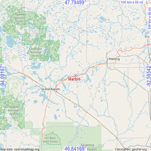
Marble GPS coordinates[2]
47° 19' 13.764" North, 93° 17' 54.744" West
| Map corner | latitude | longitude |
|---|---|---|
| Upper-left | 47.79499°, | -94.00167° |
| Center: | 47.32049°, | -93.29854° |
| Lower-right: | 46.84169°, | -92.59542° |
| Map W x H: | 106×106 km | = 65.9×65.9mi |
| max Lat: | 71.29058° ⇑2.8% North |
| Marble: | 47.32049° |
| min Lat: | ⇓97.2% South 19.06759° |
| min Long | Marble | max Long |
| -171.73463° | -93.29854° | -66.98998° |
| W 33%⇐ | ⇒67% E |
Elevation
Elevation of Marble is 432 m = 1417 ft, and this is 137.2 m = 450 ft above average elevation for this country.
| Max E: |
3189 m = 10463 ft | 14.6% |
| Marble | 432 m 1417 ft | |
| Avg. | 294.8 m = 967 ft | |
Min E: |
-60 m = -197 ft | 85.4% |
See also: United States elevation on elevation.city.
Geographical zone
Marble is located in North temperate zone (between Tropic of Cancer and the Arctic Circle). Distance of this North polar circle is 2139.6 km =1329.5 mi to North.| Distance of | km | miles | from Marble |
|---|---|---|---|
| North Pole | 4745.5 | 2948.7 | to North |
| Arctic Circle | 2139.6 | 1329.5 | to North |
| Tropic Cancer | 2655.6 | 1650.1 | to South |
| Equator | 5261.5 | 3269.3 | to South |


Nearby cities:
15 places around Marble: (largest is in red/bold)
• Bovey
9.5 km =5.9 mi,  252°
252°
• Buhl
43.6 km =27.1 mi,  63°
63°
• Chisholm
36.4 km =22.6 mi, 59°
• Cohasset
25.1 km =15.6 mi,  255°
255°
• Coleraine
10.4 km =6.5 mi, 250°
• Deer River
37.3 km =23.2 mi,  272°
272°
• Floodwood
52.1 km =32.4 mi,  146°
146°
• Grand Rapids
19.8 km =12.3 mi,  242°
242°
• Hibbing
29.6 km =18.4 mi,  66°
66°
• Hill City
42.9 km =26.7 mi,  211°
211°
• Keewatin
19.2 km =11.9 mi, 62°
• La Prairie
17.7 km =11 mi,  234°
234°
• Mountain Iron
56 km =34.8 mi, 65°
• Nashwauk
11.9 km =7.4 mi, 55°
• Taconite
6.4 km =4 mi, 262°
Sources, notices
• [Note1] Compared only with cities in United States existing in our database
• [Src1] Map data: © OpenStreetMap contributors (CC-BY-SA)
• [Src2] Other city data from geonames.org with taken over terms of usage.
• [Src3] Geographical zone / Annual Mean Temperature by Robert A. Rohde @ Wikipedia
