China Lake Acres geodata
China Lake Acres (California) is a populated place; located in United States in America/Los_Angeles (GMT-7) time zone. With population of 1,876 people, there are 12288 cities with bigger population in this country. Compared to other cities in United States, 72% of cities are located further ↑North; 90.6% of cities are located further →East and 91.4% of cities have lower elevation than China Lake Acres. Note1


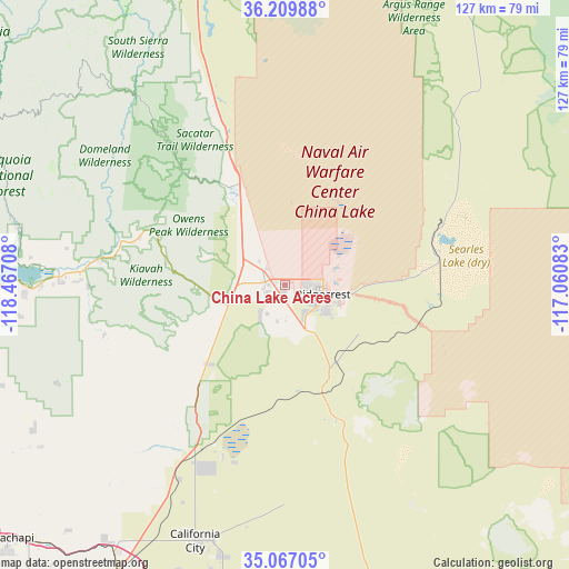
China Lake Acres GPS coordinates[2]
35° 38' 25.836" North, 117° 45' 50.22" West
| Map corner | latitude | longitude |
|---|---|---|
| Upper-left | 36.20988°, | -118.46708° |
| Center: | 35.64051°, | -117.76395° |
| Lower-right: | 35.06705°, | -117.06083° |
| Map W x H: | 127.1×127.1 km | = 79×79mi |
| max Lat: | 71.29058° ⇑72% North |
| China Lake Acres: | 35.64051° |
| min Lat: | ⇓28% South 19.06759° |
| min Long | China Lake Acre | max Long |
| -171.73463° | -117.76395° | -66.98998° |
| W 9.4%⇐ | ⇒90.6% E |
Elevation
Elevation of China Lake Acres is 744 m = 2441 ft, and this is 449.2 m = 1474 ft above average elevation for this country.
| Max E: |
3189 m = 10463 ft | 8.6% |
| China Lake Acres | 744 m 2441 ft | |
| Avg. | 294.8 m = 967 ft | |
Min E: |
-60 m = -197 ft | 91.4% |
See also: United States elevation on elevation.city.
Geographical zone
China Lake Acres is located in North temperate zone (between Tropic of Cancer and the Arctic Circle). Distance of this Northern Tropic circle is 1356.9 km =843.1 mi to South.| Distance of | km | miles | from China Lake Acres |
|---|---|---|---|
| North Pole | 6044.2 | 3755.7 | to North |
| Arctic Circle | 3438.3 | 2136.5 | to North |
| Tropic Cancer | 1356.9 | 843.1 | to South |
| Equator | 3962.9 | 2462.4 | to South |


Nearby cities:
15 places around China Lake Acres: (largest is in red/bold)
• Alta Sierra
72.1 km =44.8 mi,  278°
278°
• Bodfish
66.1 km =41.1 mi,  264°
264°
• Boron
72 km =44.7 mi,  171°
171°
• California City
60.7 km =37.7 mi,  199°
199°
• Inyokern
4.5 km =2.8 mi, 279°
• Kernville
61.1 km =38 mi, 281°
• Lake Isabella
64.1 km =39.8 mi,  267°
267°
• Mojave
75.2 km =46.7 mi,  209°
209°
• Mountain Mesa
58 km =36 mi, 269°
• North Edwards
69.6 km =43.2 mi,  185°
185°
• Ridgecrest
8.6 km =5.3 mi,  103°
103°
• Searles Valley
35.4 km =22 mi,  66°
66°
• Squirrel Mountain Valley
58.4 km =36.3 mi, 268°
• Weldon
47.6 km =29.6 mi, 273°
• Wofford Heights
63 km =39.1 mi, 276°
Sources, notices
• [Note1] Compared only with cities in United States existing in our database
• [Src1] Map data: © OpenStreetMap contributors (CC-BY-SA)
• [Src2] Other city data from geonames.org with taken over terms of usage.
• [Src3] Geographical zone / Annual Mean Temperature by Robert A. Rohde @ Wikipedia
