North Edwards geodata
North Edwards (California) is a populated place; located in United States in America/Los_Angeles (GMT-7) time zone. With population of 1,058 people, there are 15909 cities with bigger population in this country. Compared to other cities in United States, 75.3% of cities are located further ↑North; 90.7% of cities are located further →East and 91% of cities have lower elevation than North Edwards. Note1


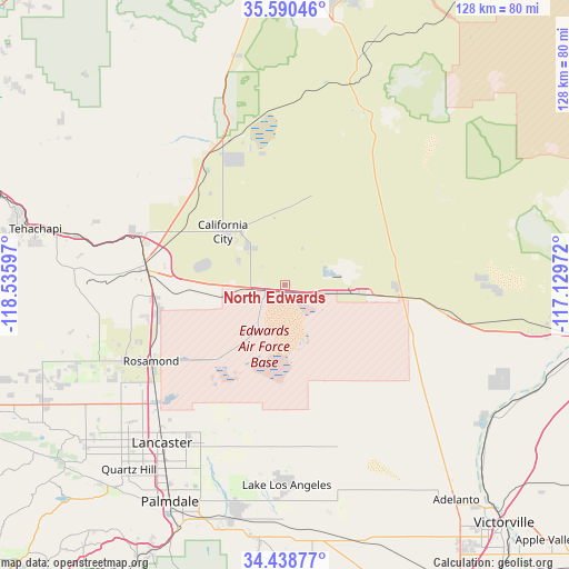
North Edwards GPS coordinates[2]
35° 0' 59.904" North, 117° 49' 58.224" West
| Map corner | latitude | longitude |
|---|---|---|
| Upper-left | 35.59046°, | -118.53597° |
| Center: | 35.01664°, | -117.83284° |
| Lower-right: | 34.43877°, | -117.12972° |
| Map W x H: | 128.1×128.1 km | = 79.6×79.6mi |
| max Lat: | 71.29058° ⇑75.3% North |
| North Edwards: | 35.01664° |
| min Lat: | ⇓24.7% South 19.06759° |
| min Long | North Edwards | max Long |
| -171.73463° | -117.83284° | -66.98998° |
| W 9.3%⇐ | ⇒90.7% E |
Elevation
Elevation of North Edwards is 702 m = 2303 ft, and this is 407.2 m = 1336 ft above average elevation for this country.
| Max E: |
3189 m = 10463 ft | 9% |
| North Edwards | 702 m 2303 ft | |
| Avg. | 294.8 m = 967 ft | |
Min E: |
-60 m = -197 ft | 91% |
See also: United States elevation on elevation.city.
Geographical zone
North Edwards is located in North temperate zone (between Tropic of Cancer and the Arctic Circle). Distance of this Northern Tropic circle is 1287.6 km =800.1 mi to South.| Distance of | km | miles | from North Edwards |
|---|---|---|---|
| North Pole | 6113.6 | 3798.8 | to North |
| Arctic Circle | 3507.7 | 2179.6 | to North |
| Tropic Cancer | 1287.6 | 800.1 | to South |
| Equator | 3893.5 | 2419.3 | to South |


Nearby cities:
15 places around North Edwards: (largest is in red/bold)
• Boron
16.8 km =10.4 mi,  96°
96°
• California City
18.5 km =11.5 mi,  311°
311°
• Desert View Highlands
55.6 km =34.5 mi,  211°
211°
• Edwards Air Force Base
14.5 km =9 mi,  219°
219°
• Lake Los Angeles
44.9 km =27.9 mi,  179°
179°
• Lancaster
45 km =28 mi, 218°
• Leona Valley
60.7 km =37.7 mi, 223°
• Littlerock
56.8 km =35.3 mi,  194°
194°
• Mojave
31.3 km =19.4 mi,  277°
277°
• Palmdale
55.1 km =34.2 mi, 208°
• Quartz Hill
54.2 km =33.7 mi, 220°
• Rosamond
34.6 km =21.5 mi,  240°
240°
• Silver Lakes
54 km =33.6 mi,  123°
123°
• Sun Village
52.1 km =32.4 mi, 192°
• Tehachapi
57.5 km =35.7 mi, 282°
Sources, notices
• [Note1] Compared only with cities in United States existing in our database
• [Src1] Map data: © OpenStreetMap contributors (CC-BY-SA)
• [Src2] Other city data from geonames.org with taken over terms of usage.
• [Src3] Geographical zone / Annual Mean Temperature by Robert A. Rohde @ Wikipedia
