Greenfield geodata
Greenfield (California) is a populated place; located in United States in America/Los_Angeles (GMT-7) time zone. With population of 17,184 people, there are 2882 cities with bigger population in this country. Compared to other cities in United States, 68.8% of cities are located further ↑North; 94% of cities are located further →East and 72.1% of cities have higher elevation than Greenfield. Note1


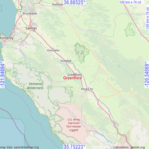
Greenfield GPS coordinates[2]
36° 19' 14.88" North, 121° 14' 37.716" West
| Map corner | latitude | longitude |
|---|---|---|
| Upper-left | 36.88525°, | -121.94694° |
| Center: | 36.3208°, | -121.24381° |
| Lower-right: | 35.75223°, | -120.54069° |
| Map W x H: | 126×126 km | = 78.3×78.3mi |
| max Lat: | 71.29058° ⇑68.8% North |
| Greenfield: | 36.3208° |
| min Lat: | ⇓31.2% South 19.06759° |
| min Long | Greenfield | max Long |
| -171.73463° | -121.24381° | -66.98998° |
| W 6%⇐ | ⇒94% E |
Elevation
Elevation of Greenfield is 88 m = 289 ft, and this is 206.8 m = 678 ft below average elevation for this country.
| Max E: |
3189 m = 10463 ft | 72.1% |
| Avg. | 294.8 m = 967 ft | |
| Greenfield | 88 m = 289 ft | |
Min E: |
-60 m = -197 ft | 27.9% |
See also: United States elevation on elevation.city.
Geographical zone
Greenfield is located in North temperate zone (between Tropic of Cancer and the Arctic Circle). Distance of this Northern Tropic circle is 1432.6 km =890.2 mi to South.| Distance of | km | miles | from Greenfield |
|---|---|---|---|
| North Pole | 5968.6 | 3708.7 | to North |
| Arctic Circle | 3362.7 | 2089.5 | to North |
| Tropic Cancer | 1432.6 | 890.2 | to South |
| Equator | 4038.5 | 2509.4 | to South |


Nearby cities:
15 places around Greenfield: (largest is in red/bold)
• Big Sur
50.8 km =31.6 mi,  263°
263°
• Boronda
57 km =35.4 mi,  317°
317°
• Carmel Valley Village
51.1 km =31.8 mi,  293°
293°
• Chualar
37.1 km =23.1 mi, 318°
• Del Rey Oaks
60.9 km =37.8 mi,  299°
299°
• Gonzales
27.4 km =17 mi, 319°
• Hollister
60.8 km =37.8 mi,  346°
346°
• King City
16 km =9.9 mi,  138°
138°
• Prunedale
63.3 km =39.3 mi, 323°
• Ridgemark
55.7 km =34.6 mi, 348°
• Salinas
54.1 km =33.6 mi, 317°
• San Ardo
45.2 km =28.1 mi, 137°
• Seaside
63.2 km =39.3 mi, 300°
• Soledad
13.7 km =8.5 mi,  327°
327°
• Spreckels
49.2 km =30.6 mi,  312°
312°
Sources, notices
• [Note1] Compared only with cities in United States existing in our database
• [Src1] Map data: © OpenStreetMap contributors (CC-BY-SA)
• [Src2] Other city data from geonames.org with taken over terms of usage.
• [Src3] Geographical zone / Annual Mean Temperature by Robert A. Rohde @ Wikipedia
