Paramount geodata
Paramount (California) is a populated place; located in United States in America/Los_Angeles (GMT-7) time zone. With population of 55,412 people, there are 832 cities with bigger population in this country. Compared to other cities in United States, 81% of cities are located further ↑North; 91.1% of cities are located further →East and 86.6% of cities have higher elevation than Paramount. Note1


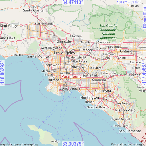
Paramount GPS coordinates[2]
33° 53' 22.056" North, 118° 9' 35.244" West
| Map corner | latitude | longitude |
|---|---|---|
| Upper-left | 34.47113°, | -118.86292° |
| Center: | 33.88946°, | -118.15979° |
| Lower-right: | 33.30379°, | -117.45667° |
| Map W x H: | 129.8×129.8 km | = 80.7×80.7mi |
| max Lat: | 71.29058° ⇑81% North |
| Paramount: | 33.88946° |
| min Lat: | ⇓19% South 19.06759° |
| min Long | Paramount | max Long |
| -171.73463° | -118.15979° | -66.98998° |
| W 8.9%⇐ | ⇒91.1% E |
Elevation
Elevation of Paramount is 24 m = 79 ft, and this is 270.8 m = 888 ft below average elevation for this country.
| Max E: |
3189 m = 10463 ft | 86.6% |
| Avg. | 294.8 m = 967 ft | |
| Paramount | 24 m = 79 ft | |
Min E: |
-60 m = -197 ft | 13.4% |
See also: Paramount elevation on elevation.city.
Geographical zone
Paramount is located in North temperate zone (between Tropic of Cancer and the Arctic Circle). Distance of this Northern Tropic circle is 1162.2 km =722.2 mi to South.| Distance of | km | miles | from Paramount |
|---|---|---|---|
| North Pole | 6238.9 | 3876.7 | to North |
| Arctic Circle | 3633 | 2257.4 | to North |
| Tropic Cancer | 1162.2 | 722.2 | to South |
| Equator | 3768.2 | 2341.5 | to South |


Nearby cities:
15 places around Paramount: (largest is in red/bold)
• Artesia
7.5 km =4.7 mi,  110°
110°
• Bell Gardens
8.5 km =5.3 mi,  5°
5°
• Bellflower
4 km =2.5 mi,  102°
102°
• Cerritos
9.4 km =5.8 mi, 111°
• Compton
5.6 km =3.5 mi,  277°
277°
• Cudahy
8.3 km =5.2 mi,  343°
343°
• Downey
6.2 km =3.9 mi,  24°
24°
• East Rancho Dominguez
3.4 km =2.1 mi,  286°
286°
• Lakewood
4.6 km =2.9 mi,  149°
149°
• Lynwood
6.6 km =4.1 mi,  313°
313°
• Norwalk
7.3 km =4.5 mi,  78°
78°
• Santa Fe Springs
9.4 km =5.8 mi,  46°
46°
• Signal Hill
9.5 km =5.9 mi,  184°
184°
• South Gate
8.7 km =5.4 mi,  326°
326°
• Willowbrook
9.3 km =5.8 mi, 289°
Sources, notices
• [Note1] Compared only with cities in United States existing in our database
• [Src1] Map data: © OpenStreetMap contributors (CC-BY-SA)
• [Src2] Other city data from geonames.org with taken over terms of usage.
• [Src3] Geographical zone / Annual Mean Temperature by Robert A. Rohde @ Wikipedia
