Paragonah geodata
Paragonah (Utah) is a populated place; located in United States in America/Denver (GMT-6) time zone. With population of 509 people, there are 20770 cities with bigger population in this country. Compared to other cities in United States, 62.2% of cities are located further ↑North; 88.2% of cities are located further →East and 98.4% of cities have lower elevation than Paragonah. Note1


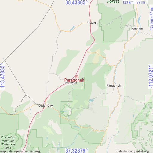
Paragonah GPS coordinates[2]
37° 53' 8.916" North, 112° 46' 30.792" West
| Map corner | latitude | longitude |
|---|---|---|
| Upper-left | 38.43865°, | -113.47835° |
| Center: | 37.88581°, | -112.77522° |
| Lower-right: | 37.32879°, | -112.0721° |
| Map W x H: | 123.4×123.4 km | = 76.7×76.7mi |
| max Lat: | 71.29058° ⇑62.2% North |
| Paragonah: | 37.88581° |
| min Lat: | ⇓37.8% South 19.06759° |
| min Long | Paragonah | max Long |
| -171.73463° | -112.77522° | -66.98998° |
| W 11.8%⇐ | ⇒88.2% E |
Elevation
Elevation of Paragonah is 1799 m = 5902 ft, and this is 1504.2 m = 4935 ft above average elevation for this country.
| Max E: |
3189 m = 10463 ft | 1.6% |
| Paragonah | 1799 m 5902 ft | |
| Avg. | 294.8 m = 967 ft | |
Min E: |
-60 m = -197 ft | 98.4% |
See also: United States elevation on elevation.city.
Geographical zone
Paragonah is located in North temperate zone (between Tropic of Cancer and the Arctic Circle). Distance of this Northern Tropic circle is 1606.6 km =998.3 mi to South.| Distance of | km | miles | from Paragonah |
|---|---|---|---|
| North Pole | 5794.6 | 3600.6 | to North |
| Arctic Circle | 3188.7 | 1981.4 | to North |
| Tropic Cancer | 1606.6 | 998.3 | to South |
| Equator | 4212.5 | 2617.5 | to South |


Nearby cities:
15 places around Paragonah: (largest is in red/bold)
• Beaver
45 km =28 mi,  15°
15°
• Cedar City
34.2 km =21.3 mi,  227°
227°
• Circleville
54.4 km =33.8 mi,  54°
54°
• Enoch
25.2 km =15.7 mi,  240°
240°
• Junction
62.4 km =38.8 mi, 51°
• LaVerkin
87.7 km =54.5 mi,  209°
209°
• Milford
60.4 km =37.5 mi,  340°
340°
• Minersville
38.7 km =24 mi, 340°
• Orderville
68.9 km =42.8 mi,  169°
169°
• Panguitch
30.6 km =19 mi,  103°
103°
• Parowan
6.7 km =4.2 mi,  223°
223°
• Springdale
80 km =49.7 mi,  194°
194°
• Toquerville
83.4 km =51.8 mi, 212°
• Tropic
67.5 km =41.9 mi,  115°
115°
• Virgin
83.7 km =52 mi, 205°
Sources, notices
• [Note1] Compared only with cities in United States existing in our database
• [Src1] Map data: © OpenStreetMap contributors (CC-BY-SA)
• [Src2] Other city data from geonames.org with taken over terms of usage.
• [Src3] Geographical zone / Annual Mean Temperature by Robert A. Rohde @ Wikipedia
