Bethany geodata
Bethany (Oregon) is a populated place; located in United States in America/Los_Angeles (GMT-7) time zone. With population of 20,646 people, there are 2442 cities with bigger population in this country. Compared to other cities in United States, 94.2% of cities are located further ↓South; 97.6% of cities are located further →East and 79% of cities have higher elevation than Bethany. Note1


Bethany GPS coordinates[2]
45° 33' 28.404" North, 122° 52' 3.36" West
| Map corner | latitude | longitude |
|---|---|---|
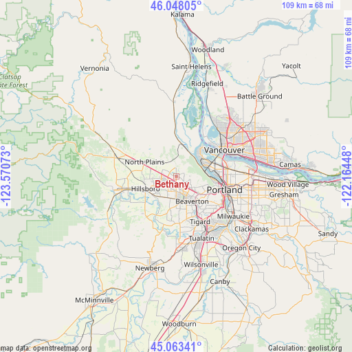
| Upper-left | 46.04805°, | -123.57073° |
| Center: | 45.55789°, | -122.8676° |
| Lower-right: | 45.06341°, | -122.16448° |
| Map W x H: | 109.5×109.5 km | = 68×68mi |
| max Lat: | 71.29058° ⇑5.8% North |
| Bethany: | 45.55789° |
| min Lat: | ⇓94.2% South 19.06759° |
| min Long | Bethany | max Long |
| -171.73463° | -122.8676° | -66.98998° |
| W 2.4%⇐ | ⇒97.6% E |
Elevation
Elevation of Bethany is 51 m = 167 ft, and this is 243.8 m = 800 ft below average elevation for this country.
| Max E: |
3189 m = 10463 ft | 79% |
| Avg. | 294.8 m = 967 ft | |
| Bethany | 51 m = 167 ft | |
Min E: |
-60 m = -197 ft | 21% |
See also: United States elevation on elevation.city.
Geographical zone
Bethany is located in North temperate zone (between Tropic of Cancer and the Arctic Circle). Distance of this North polar circle is 2335.6 km =1451.3 mi to North.| Distance of | km | miles | from Bethany |
|---|---|---|---|
| North Pole | 4941.5 | 3070.5 | to North |
| Arctic Circle | 2335.6 | 1451.3 | to North |
| Tropic Cancer | 2459.6 | 1528.3 | to South |
| Equator | 5065.6 | 3147.6 | to South |


Nearby cities:
15 places around Bethany: (largest is in red/bold)
• Aloha
7.1 km =4.4 mi,  179°
179°
• Beaverton
9.3 km =5.8 mi,  147°
147°
• Cedar Hills
8 km =5 mi,  137°
137°
• Cedar Mill
5.7 km =3.5 mi,  129°
129°
• Garden Home-Whitford
13.4 km =8.3 mi, 140°
• Hillsboro
10.3 km =6.4 mi,  247°
247°
• Kenton
14.7 km =9.1 mi,  79°
79°
• North Plains
10.7 km =6.6 mi,  293°
293°
• North Portland
14 km =8.7 mi,  65°
65°
• Oak Hills
2.8 km =1.7 mi, 132°
• Raleigh Hills
11.9 km =7.4 mi, 136°
• Rockcreek
1.1 km =0.7 mi,  220°
220°
• West Haven
8.9 km =5.5 mi,  120°
120°
• West Haven-Sylvan
9 km =5.6 mi, 120°
• West Slope
10.4 km =6.5 mi, 129°
Sources, notices
• [Note1] Compared only with cities in United States existing in our database
• [Src1] Map data: © OpenStreetMap contributors (CC-BY-SA)
• [Src2] Other city data from geonames.org with taken over terms of usage.
• [Src3] Geographical zone / Annual Mean Temperature by Robert A. Rohde @ Wikipedia
