Waianae geodata
Waianae (Hawaii) is a populated place; located in United States in Pacific/Honolulu (GMT-10) time zone. With population of 13,177 people, there are 3625 cities with bigger population in this country. Compared to other cities in United States, 99.6% of cities are located further ↑North; 99.7% of cities are located further →East and 98.1% of cities have higher elevation than Waianae. Note1


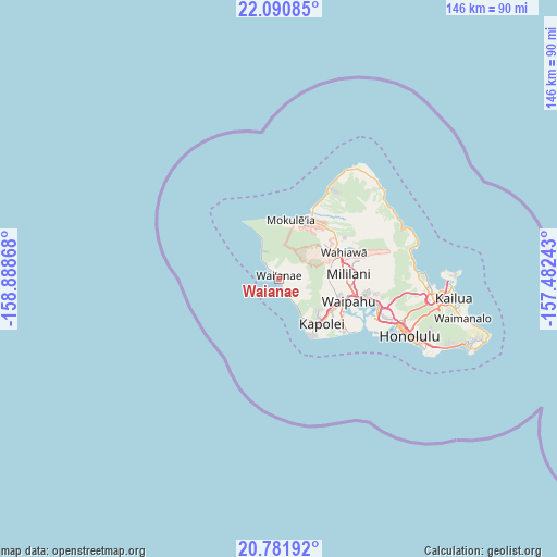
Waianae GPS coordinates[2]
21° 26' 16.26" North, 158° 11' 7.98" West
| Map corner | latitude | longitude |
|---|---|---|
| Upper-left | 22.09085°, | -158.88868° |
| Center: | 21.43785°, | -158.18555° |
| Lower-right: | 20.78192°, | -157.48243° |
| Map W x H: | 145.5×145.5 km | = 90.4×90.4mi |
| max Lat: | 71.29058° ⇑99.6% North |
| Waianae: | 21.43785° |
| min Lat: | ⇓0.4% South 19.06759° |
| min Long | Waianae | max Long |
| -171.73463° | -158.18555° | -66.98998° |
| W 0.3%⇐ | ⇒99.7% E |
Elevation
Elevation of Waianae is 5 m = 16 ft, and this is 289.8 m = 951 ft below average elevation for this country.
| Max E: |
3189 m = 10463 ft | 98.1% |
| Avg. | 294.8 m = 967 ft | |
| Waianae | 5 m = 16 ft | |
Min E: |
-60 m = -197 ft | 1.9% |
See also: United States elevation on elevation.city.
Geographical zone
Waianae is located in North Torrid zone (between Equator and Tropic of Cancer). Distance of this Northern Tropic circle is 222.3 km =138.1 mi to North.| Distance of | km | miles | from Waianae |
|---|---|---|---|
| North Pole | 7623.4 | 4737 | to North |
| Arctic Circle | 5017.5 | 3117.7 | to North |
| Tropic Cancer | 222.3 | 138.1 | to North |
| Equator | 2383.7 | 1481.2 | to South |


Nearby cities:
15 places around Waianae: (largest is in red/bold)
• Kapolei
17.4 km =10.8 mi,  130°
130°
• Ko Olina
12.5 km =7.8 mi,  150°
150°
• Makakilo
14 km =8.7 mi, 132°
• Makakilo City
14.4 km =8.9 mi, 134°
• Mokulēia
16.1 km =10 mi,  12°
12°
• Mākaha
4.1 km =2.5 mi,  320°
320°
• Mākaha Valley
4.5 km =2.8 mi,  341°
341°
• Mā‘ili
2.6 km =1.6 mi,  156°
156°
• Nānākuli
5.9 km =3.7 mi, 146°
• Royal Kunia
17.2 km =10.7 mi,  106°
106°
• Schofield Barracks
14.2 km =8.8 mi,  61°
61°
• Village Park
16.7 km =10.4 mi, 105°
• Wahiawā
18.1 km =11.2 mi,  66°
66°
• Waialua
16.4 km =10.2 mi,  19°
19°
• Waipi‘o Acres
18.1 km =11.2 mi,  80°
80°
Sources, notices
• [Note1] Compared only with cities in United States existing in our database
• [Src1] Map data: © OpenStreetMap contributors (CC-BY-SA)
• [Src2] Other city data from geonames.org with taken over terms of usage.
• [Src3] Geographical zone / Annual Mean Temperature by Robert A. Rohde @ Wikipedia
