Centennial Park geodata
Centennial Park (Arizona) is a populated place; located in United States in America/Phoenix (GMT-7) time zone. With population of 1,264 people, there are 14765 cities with bigger population in this country. Compared to other cities in United States, 66.4% of cities are located further ↑North; 88.2% of cities are located further →East and 96.6% of cities have lower elevation than Centennial Park. Note1


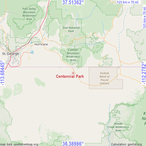
Centennial Park GPS coordinates[2]
36° 57' 13.716" North, 112° 58' 52.752" West
| Map corner | latitude | longitude |
|---|---|---|
| Upper-left | 37.51362°, | -113.68445° |
| Center: | 36.95381°, | -112.98132° |
| Lower-right: | 36.38986°, | -112.2782° |
| Map W x H: | 125×124.9 km | = 77.7×77.6mi |
| max Lat: | 71.29058° ⇑66.4% North |
| Centennial Park: | 36.95381° |
| min Lat: | ⇓33.6% South 19.06759° |
| min Long | Centennial Park | max Long |
| -171.73463° | -112.98132° | -66.98998° |
| W 11.8%⇐ | ⇒88.2% E |
Elevation
Elevation of Centennial Park is 1495 m = 4905 ft, and this is 1200.2 m = 3938 ft above average elevation for this country.
| Max E: |
3189 m = 10463 ft | 3.4% |
| Centennial Park | 1495 m 4905 ft | |
| Avg. | 294.8 m = 967 ft | |
Min E: |
-60 m = -197 ft | 96.6% |
See also: United States elevation on elevation.city.
Geographical zone
Centennial Park is located in North temperate zone (between Tropic of Cancer and the Arctic Circle). Distance of this Northern Tropic circle is 1503 km =933.9 mi to South.| Distance of | km | miles | from Centennial Park |
|---|---|---|---|
| North Pole | 5898.2 | 3665 | to North |
| Arctic Circle | 3292.3 | 2045.7 | to North |
| Tropic Cancer | 1503 | 933.9 | to South |
| Equator | 4108.9 | 2553.2 | to South |


Nearby cities:
15 places around Centennial Park: (largest is in red/bold)
• Apple Valley
19.7 km =12.2 mi,  319°
319°
• Colorado City
4.1 km =2.5 mi,  6°
6°
• Fredonia
40.4 km =25.1 mi,  91°
91°
• Hildale
5.7 km =3.5 mi, 13°
• Hurricane
36.8 km =22.9 mi,  311°
311°
• Kanab
41.7 km =25.9 mi,  75°
75°
• LaVerkin
37.6 km =23.4 mi, 317°
• Leeds
46.1 km =28.6 mi, 313°
• Orderville
47 km =29.2 mi,  40°
40°
• Saint George
56.1 km =34.9 mi,  287°
287°
• Santa Clara
62.9 km =39.1 mi, 288°
• Springdale
26.2 km =16.3 mi,  356°
356°
• Toquerville
42.8 km =26.6 mi, 321°
• Virgin
33.7 km =20.9 mi,  327°
327°
• Washington
50.7 km =31.5 mi, 292°
Sources, notices
• [Note1] Compared only with cities in United States existing in our database
• [Src1] Map data: © OpenStreetMap contributors (CC-BY-SA)
• [Src2] Other city data from geonames.org with taken over terms of usage.
• [Src3] Geographical zone / Annual Mean Temperature by Robert A. Rohde @ Wikipedia
