Hamza geodata
Hamza (Fergana) is a populated place; located in Uzbekistan in Asia/Tashkent (GMT+5) time zone. With population of 13,470 people, there are 102 cities with bigger population in this country. Compared to other cities in Uzbekistan, 58% of cities are located further ↑North; 78.2% of cities are located further ←West and 54.6% of cities have lower elevation than Hamza. Note1


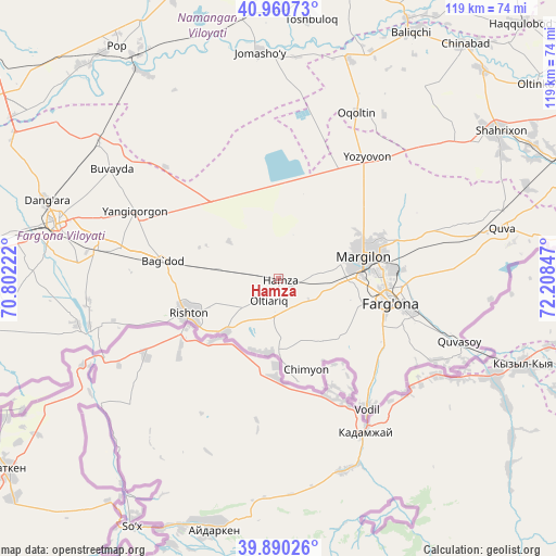
Hamza GPS coordinates[2]
40° 25' 39.432" North, 71° 30' 19.224" East
| Map corner | latitude | longitude |
|---|---|---|
| Upper-left | 40.96073°, | 70.80222° |
| Center: | 40.42762°, | 71.50534° |
| Lower-right: | 39.89026°, | 72.20847° |
| Map W x H: | 119×119 km | = 73.9×73.9mi |
| max Lat: | 43.77877° ⇑58% North |
| Hamza: | 40.42762° |
| min Lat: | ⇓42% South 37.22417° |
| min Long | Hamza | max Long |
| 58.84596° | 71.50534° | 72.76177° |
| W 78.2%⇐ | ⇒21.8% E |
Elevation
Elevation of Hamza is 443 m = 1453 ft, and this is 9.2 m = 30 ft above average elevation for this country.
| Max E: |
1464 m = 4803 ft | 45.4% |
| Hamza | 443 m 1453 ft | |
| Avg. | 433.8 m = 1423 ft | |
Min E: |
50 m = 164 ft | 54.6% |
See also: Uzbekistan elevation on elevation.city.
Geographical zone
Hamza is located in North temperate zone (between Tropic of Cancer and the Arctic Circle). Distance of this Northern Tropic circle is 1889.2 km =1173.9 mi to South.| Distance of | km | miles | from Hamza |
|---|---|---|---|
| North Pole | 5511.9 | 3424.9 | to North |
| Arctic Circle | 2906 | 1805.7 | to North |
| Tropic Cancer | 1889.2 | 1173.9 | to South |
| Equator | 4495.1 | 2793.1 | to South |


Nearby cities:
15 places around Hamza: (largest is in red/bold)
• Bag‘dod
25.1 km =15.6 mi,  279°
279°
• Fergana
24.1 km =15 mi,  101°
101°
• Kirguli
22.2 km =13.8 mi,  87°
87°
• Langar
16.7 km =10.4 mi,  51°
51°
• Marg‘ilon
19.2 km =11.9 mi,  74°
74°
• Oltiariq
4.8 km =3 mi,  213°
213°
• Oqoltin
39.1 km =24.3 mi,  24°
24°
• Quvasoy
42.8 km =26.6 mi,  109°
109°
• Rishton
20.3 km =12.6 mi,  247°
247°
• Toshloq
22.9 km =14.2 mi,  76°
76°
• Uchko‘prik
39.7 km =24.7 mi,  288°
288°
• Vodil
34 km =21.1 mi,  145°
145°
• Yangi Marg‘ilon
18.1 km =11.2 mi, 90°
• Yangiqo‘rg‘on
33.4 km =20.8 mi, 294°
• Yozyovon
32.9 km =20.4 mi,  37°
37°
Sources, notices
• [Note1] Compared only with cities in Uzbekistan existing in our database
• [Src1] Map data: © OpenStreetMap contributors (CC-BY-SA)
• [Src2] Other city data from geonames.org with taken over terms of usage.
• [Src3] Geographical zone / Annual Mean Temperature by Robert A. Rohde @ Wikipedia
