Chejendé geodata
Chejendé (Trujillo) is a seat of a second-order administrative division; located in Venezuela in America/Caracas (GMT-4) time zone. In our database, there are 108 cities with bigger population. Compared to other cities in Venezuela, 50.1% of cities are located further ↓South; 70.5% of cities are located further →East and 88.3% of cities have lower elevation than Chejendé. Note1


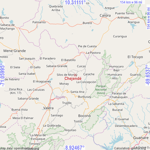
Chejendé GPS coordinates[2]
9° 37' 6.96" North, 70° 21' 24.552" West
| Map corner | latitude | longitude |
|---|---|---|
| Upper-left | 10.31111°, | -71.05995° |
| Center: | 9.6186°, | -70.35682° |
| Lower-right: | 8.92467°, | -69.6537° |
| Map W x H: | 154.2×154.2 km | = 95.8×95.8mi |
| max Lat: | 11.94788° ⇑49.9% North |
| Chejendé: | 9.6186° |
| min Lat: | ⇓50.1% South 1.92027° |
| min Long | Chejendé | max Long |
| -72.55212° | -70.35682° | -60.99778° |
| W 29.5%⇐ | ⇒70.5% E |
Elevation
Elevation of Chejendé is 986 m = 3235 ft, and this is 605.4 m = 1986 ft above average elevation for this country.
| Max E: |
2986 m = 9797 ft | 11.7% |
| Chejendé | 986 m 3235 ft | |
| Avg. | 380.6 m = 1249 ft | |
Min E: |
-4 m = -13 ft | 88.3% |
See also: Venezuela elevation on elevation.city.
Geographical zone
Chejendé is located in North Torrid zone (between Equator and Tropic of Cancer). Distance of Equator is 1069.5 km =664.6 mi to South.| Distance of | km | miles | from Chejendé |
|---|---|---|---|
| North Pole | 8937.6 | 5553.6 | to North |
| Arctic Circle | 6331.7 | 3934.3 | to North |
| Tropic Cancer | 1536.4 | 954.7 | to North |
| Equator | 1069.5 | 664.6 | to South |


Nearby cities:
15 places around Chejendé: (largest is in red/bold)
• Betijoque
49 km =30.4 mi,  237°
237°
• Boconó
42.2 km =26.2 mi,  164°
164°
• Campo Elías
41.1 km =25.5 mi,  127°
127°
• Carache
14.1 km =8.8 mi,  85°
85°
• Carvajal
43.1 km =26.8 mi,  216°
216°
• El Dividive
44.4 km =27.6 mi,  248°
248°
• El Paradero
33.1 km =20.6 mi,  301°
301°
• Escuque
49.7 km =30.9 mi, 224°
• Motatán
36 km =22.4 mi,  225°
225°
• Pampanito
28 km =17.4 mi,  214°
214°
• Pampán
23.3 km =14.5 mi, 214°
• Paraíso de Chabasquén
49.4 km =30.7 mi,  114°
114°
• Santa Isabel
49.5 km =30.8 mi,  271°
271°
• Trujillo
29.4 km =18.3 mi,  197°
197°
• Valera
43 km =26.7 mi, 218°
Sources, notices
• [Note1] Compared only with cities in Venezuela existing in our database
• [Src1] Map data: © OpenStreetMap contributors (CC-BY-SA)
• [Src2] Other city data from geonames.org with taken over terms of usage.
• [Src3] Geographical zone / Annual Mean Temperature by Robert A. Rohde @ Wikipedia
