Hương Khê geodata
Hương Khê (Hà Tĩnh) is a seat of a second-order administrative division; located in Vietnam in Asia/Ho_Chi_Minh (GMT+7) time zone. In our database, there are 94 cities with bigger population. Compared to other cities in Vietnam, 52.4% of cities are located further ↓South; 68.5% of cities are located further →East and 54.6% of cities have lower elevation than Hương Khê. Note1


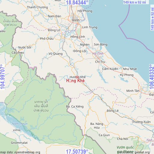
Hương Khê GPS coordinates[2]
18° 10' 36.084" North, 105° 42' 0.684" East
| Map corner | latitude | longitude |
|---|---|---|
| Upper-left | 18.84344°, | 104.99707° |
| Center: | 18.17669°, | 105.70019° |
| Lower-right: | 17.50739°, | 106.40332° |
| Map W x H: | 148.6×148.6 km | = 92.3×92.3mi |
| max Lat: | 23.27841° ⇑47.6% North |
| Hương Khê: | 18.17669° |
| min Lat: | ⇓52.4% South 8.65724° |
| min Long | Hương Khê | max Long |
| 102.4579° | 105.70019° | 112.72541° |
| W 31.5%⇐ | ⇒68.5% E |
Elevation
Elevation of Hương Khê is 17 m = 56 ft, and this is 112.5 m = 369 ft below average elevation for this country.
| Max E: |
1592 m = 5223 ft | 45.4% |
| Avg. | 129.5 m = 425 ft | |
| Hương Khê | 17 m = 56 ft | |
Min E: |
-1 m = -3 ft | 54.6% |
See also: Vietnam elevation on elevation.city.
Geographical zone
Hương Khê is located in North Torrid zone (between Equator and Tropic of Cancer). Distance of this Northern Tropic circle is 584.9 km =363.4 mi to North.| Distance of | km | miles | from Hương Khê |
|---|---|---|---|
| North Pole | 7986 | 4962.3 | to North |
| Arctic Circle | 5380.1 | 3343 | to North |
| Tropic Cancer | 584.9 | 363.4 | to North |
| Equator | 2021.1 | 1255.9 | to South |


Nearby cities:
15 places around Hương Khê: (largest is in red/bold)
• Cẩm Xuyên
32.8 km =20.4 mi,  75°
75°
• Hà Tĩnh
28.5 km =17.7 mi,  49°
49°
• Hưng Nguyên
55.5 km =34.5 mi,  352°
352°
• Kỳ Anh
64.5 km =40.1 mi,  101°
101°
• Nam Đàn
61.7 km =38.3 mi,  339°
339°
• Nghi Xuân
54.3 km =33.7 mi,  6°
6°
• Nghèn
31.7 km =19.7 mi,  15°
15°
• Oui Dat
50.3 km =31.3 mi,  145°
145°
• Phố Châu
47.4 km =29.5 mi,  322°
322°
• Thạch Hà
27.2 km =16.9 mi,  38°
38°
• Vinh
55.2 km =34.3 mi,  359°
359°
• Vũ Quang
30.8 km =19.1 mi, 318°
• Yên Vinh
54.6 km =33.9 mi, 356°
• Đồng Lê
47.3 km =29.4 mi,  133°
133°
• Đức Thọ
42.2 km =26.2 mi, 342°
Sources, notices
• [Note1] Compared only with cities in Vietnam existing in our database
• [Src1] Map data: © OpenStreetMap contributors (CC-BY-SA)
• [Src2] Other city data from geonames.org with taken over terms of usage.
• [Src3] Geographical zone / Annual Mean Temperature by Robert A. Rohde @ Wikipedia
