Ku‘aydinah geodata
Ku‘aydinah (Ḩajjah) is a seat of a second-order administrative division; located in Yemen in Asia/Aden (GMT+3) time zone. In our database, there are 51 cities with bigger population. Compared to other cities in Yemen, 76.3% of cities are located further ↓South; 91.2% of cities are located further →East and 67.5% of cities have higher elevation than Ku‘aydinah. Note1


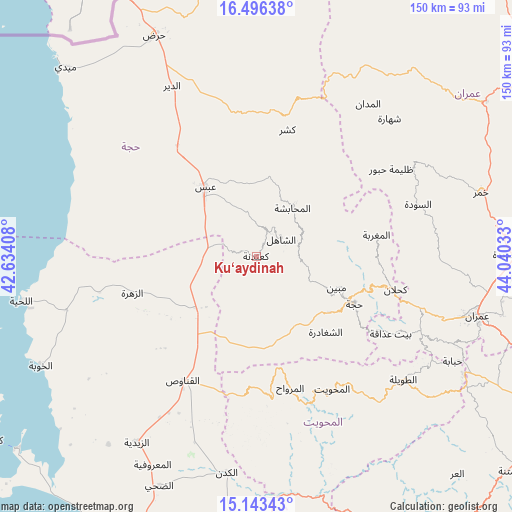
Ku‘aydinah GPS coordinates[2]
15° 49' 15.744" North, 43° 20' 13.92" East
| Map corner | latitude | longitude |
|---|---|---|
| Upper-left | 16.49638°, | 42.63408° |
| Center: | 15.82104°, | 43.3372° |
| Lower-right: | 15.14343°, | 44.04033° |
| Map W x H: | 150.4×150.4 km | = 93.5×93.5mi |
| max Lat: | 17.76999° ⇑23.7% North |
| Ku‘aydinah: | 15.82104° |
| min Lat: | ⇓76.3% South 12.18576° |
| min Long | Ku‘aydinah | max Long |
| 42.67107° | 43.3372° | 54.01895° |
| W 8.8%⇐ | ⇒91.2% E |
Elevation
Elevation of Ku‘aydinah is 945 m = 3100 ft, and this is 359.8 m = 1180 ft below average elevation for this country.
| Max E: |
2791 m = 9157 ft | 67.5% |
| Avg. | 1304.8 m = 4281 ft | |
| Ku‘aydinah | 945 m = 3100 ft | |
Min E: |
4 m = 13 ft | 32.5% |
See also: Yemen elevation on elevation.city.
Geographical zone
Ku‘aydinah is located in North Torrid zone (between Equator and Tropic of Cancer). Distance of this Northern Tropic circle is 846.8 km =526.2 mi to North.| Distance of | km | miles | from Ku‘aydinah |
|---|---|---|---|
| North Pole | 8247.9 | 5125 | to North |
| Arctic Circle | 5642 | 3505.8 | to North |
| Tropic Cancer | 846.8 | 526.2 | to North |
| Equator | 1759.1 | 1093.1 | to South |


Nearby cities:
15 places around Ku‘aydinah: (largest is in red/bold)
• Abs
25.2 km =15.7 mi,  323°
323°
• Al Jamīmah
35.3 km =21.9 mi,  51°
51°
• Al Maghrabah
35.8 km =22.2 mi,  79°
79°
• Al Maḩābishah
17.6 km =10.9 mi,  36°
36°
• Al Miftāḩ
21.8 km =13.5 mi, 38°
• Ash Shaghādirah
29.7 km =18.5 mi,  138°
138°
• Ash Shāhil
8.8 km =5.5 mi,  55°
55°
• Aslam
26.5 km =16.5 mi,  357°
357°
• Banī an Nahārī
30.9 km =19.2 mi,  130°
130°
• Khayrān
22.8 km =14.2 mi,  11°
11°
• Mabyan
25.3 km =15.7 mi,  111°
111°
• Sharas
35.5 km =22.1 mi, 109°
• Sūq Shamar
7.8 km =4.8 mi,  24°
24°
• Waḑarah
19.9 km =12.4 mi, 128°
• Ḩajjah
32 km =19.9 mi,  116°
116°
Sources, notices
• [Note1] Compared only with cities in Yemen existing in our database
• [Src1] Map data: © OpenStreetMap contributors (CC-BY-SA)
• [Src2] Other city data from geonames.org with taken over terms of usage.
• [Src3] Geographical zone / Annual Mean Temperature by Robert A. Rohde @ Wikipedia
