Margate geodata
Margate (KwaZulu-Natal) is a populated place; located in South Africa in Africa/Johannesburg (GMT+2) time zone. With population of 34,407 people, there are 114 cities with bigger population in this country. Compared to other cities in South Africa, 71.7% of cities are located further ↑North; 85.8% of cities are located further ←West and 97.3% of cities have higher elevation than Margate. Note1
Administrative division(s):
- Level 1: KwaZulu-Natal
- Level 2: Ugu District Municipality
- Level 3: Hibiscus Coast


Margate GPS coordinates[2]
30° 51' 48.96" South, 30° 22' 13.872" East
| Map corner | latitude | longitude |
|---|---|---|
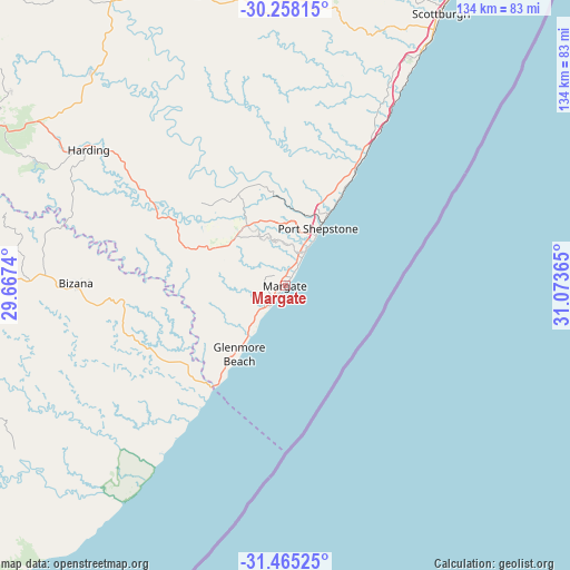
| Upper-left | -30.25815°, | 29.6674° |
| Center: | -30.8636°, | 30.37052° |
| Lower-right: | -31.46525°, | 31.07365° |
| Map W x H: | 134.2×134.2 km | = 83.4×83.4mi |
| max Lat: | -22.34881° ⇑71.7% North |
| Margate: | -30.8636° |
| min Lat: | ⇓28.3% South -34.66739° |
| min Long | Margate | max Long |
| 16.8697° | 30.37052° | 32.26762° |
| W 85.8%⇐ | ⇒14.2% E |
Elevation
Elevation of Margate is 20 m = 66 ft, and this is 949.6 m = 3115 ft below average elevation for this country.
| Max E: |
1873 m = 6145 ft | 97.3% |
| Avg. | 969.6 m = 3181 ft | |
| Margate | 20 m = 66 ft | |
Min E: |
7 m = 23 ft | 2.7% |
See also: South Africa elevation on elevation.city.
Geographical zone
Margate is located in South temperate zone (between Tropic of Capricorn and the Antarctic Circle). Distance of this Southern Tropic circle is 825.8 km =513.1 mi to North.| Distance of | km | miles | from Margate |
|---|---|---|---|
| Equator | 3431.7 | 2132.4 | to North |
| Tropic Capricorn | 825.8 | 513.1 | to North |
| Antarctic Circle | 3969.5 | 2466.5 | to South |
| South Pole | 6575.4 | 4085.8 | to South |


Nearby cities:
15 places around Margate: (largest is in red/bold)
• Bizana
49.3 km =30.6 mi,  270°
270°
• Camperdown
127.3 km =79.1 mi,  7°
7°
• Creighton
106 km =65.9 mi,  331°
331°
• Flagstaff
86.9 km =54 mi,  253°
253°
• Harding
56.4 km =35 mi,  304°
304°
• Ixopo
84 km =52.2 mi,  340°
340°
• Izingolweni
25.2 km =15.7 mi,  290°
290°
• Kokstad
97.1 km =60.3 mi, 291°
• Mount Ayliff
96.1 km =59.7 mi, 273°
• Mpumalanga
119.6 km =74.3 mi, 12°
• Port Saint John’s
115.3 km =71.6 mi,  222°
222°
• Port Shepstone
15.8 km =9.8 mi,  30°
30°
• Richmond
110.7 km =68.8 mi,  355°
355°
• Scottburgh
73.9 km =45.9 mi, 29°
• eMkhomazi
83.7 km =52 mi, 29°
Sources, notices
• [Note1] Compared only with cities in South Africa existing in our database
• [Src1] Map data: © OpenStreetMap contributors (CC-BY-SA)
• [Src2] Other city data from geonames.org with taken over terms of usage.
• [Src3] Geographical zone / Annual Mean Temperature by Robert A. Rohde @ Wikipedia
