Yeranos geodata
Yeranos (Gegharkunik) is a populated place; located in Armenia in Asia/Yerevan (GMT+4) time zone. With population of 4,233 people, there are 57 cities with bigger population in this country. Compared to other cities in Armenia, 50.3% of cities are located further ↓South; 82.8% of cities are located further ←West and 94.6% of cities have lower elevation than Yeranos. Note1


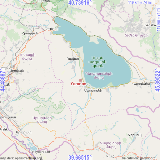
Yeranos GPS coordinates[2]
40° 12' 15.408" North, 45° 11' 31.524" East
| Map corner | latitude | longitude |
|---|---|---|
| Upper-left | 40.73916°, | 44.48897° |
| Center: | 40.20428°, | 45.19209° |
| Lower-right: | 39.66515°, | 45.89522° |
| Map W x H: | 119.4×119.4 km | = 74.2×74.2mi |
| max Lat: | 41.24358° ⇑49.7% North |
| Yeranos: | 40.20428° |
| min Lat: | ⇓50.3% South 38.90292° |
| min Long | Yeranos | max Long |
| 43.74722° | 45.19209° | 46.5446° |
| W 82.8%⇐ | ⇒17.2% E |
Elevation
Elevation of Yeranos is 1982 m = 6503 ft, and this is 680.5 m = 2233 ft above average elevation for this country.
| Max E: |
2169 m = 7116 ft | 5.4% |
| Yeranos | 1982 m 6503 ft | |
| Avg. | 1301.5 m = 4270 ft | |
Min E: |
440 m = 1444 ft | 94.6% |
See also: Armenia elevation on elevation.city.
Geographical zone
Yeranos is located in North temperate zone (between Tropic of Cancer and the Arctic Circle). Distance of this Northern Tropic circle is 1864.4 km =1158.5 mi to South.| Distance of | km | miles | from Yeranos |
|---|---|---|---|
| North Pole | 5536.8 | 3440.4 | to North |
| Arctic Circle | 2930.9 | 1821.2 | to North |
| Tropic Cancer | 1864.4 | 1158.5 | to South |
| Equator | 4470.3 | 2777.7 | to South |


Nearby cities:
15 places around Yeranos: (largest is in red/bold)
• Astghadzor
16.6 km =10.3 mi,  123°
123°
• Dzoragyugh
3.9 km =2.4 mi,  190°
190°
• Gandzak
14.1 km =8.8 mi,  330°
330°
• Gavarr
17.6 km =10.9 mi,  340°
340°
• Karanlukh
13.9 km =8.6 mi,  143°
143°
• Lanjaghbyur
8.3 km =5.2 mi, 330°
• Lichk’
6.2 km =3.9 mi, 144°
• Madina
15.2 km =9.4 mi,  159°
159°
• Martuni
12.1 km =7.5 mi,  127°
127°
• Nerk’in Getashen
9.7 km =6 mi, 136°
• Sarukhan
11 km =6.8 mi, 331°
• Tsovasar
7.3 km =4.5 mi,  180°
180°
• Vaghashen
14 km =8.7 mi, 122°
• Vardadzor
1.9 km =1.2 mi, 179°
• Verin Getashen
9.7 km =6 mi,  147°
147°
Sources, notices
• [Note1] Compared only with cities in Armenia existing in our database
• [Src1] Map data: © OpenStreetMap contributors (CC-BY-SA)
• [Src2] Other city data from geonames.org with taken over terms of usage.
• [Src3] Geographical zone / Annual Mean Temperature by Robert A. Rohde @ Wikipedia
