Lukashin geodata
Lukashin (Armavir) is a populated place; located in Armenia in Asia/Yerevan (GMT+4) time zone. With population of 2,197 people, there are 136 cities with bigger population in this country. Compared to other cities in Armenia, 51.3% of cities are located further ↑North; 89.8% of cities are located further →East and 71.3% of cities have higher elevation than Lukashin. Note1


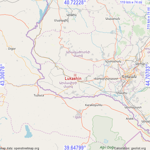
Lukashin GPS coordinates[2]
40° 11' 14.136" North, 44° 0' 14.04" East
| Map corner | latitude | longitude |
|---|---|---|
| Upper-left | 40.72228°, | 43.30078° |
| Center: | 40.18726°, | 44.0039° |
| Lower-right: | 39.64799°, | 44.70703° |
| Map W x H: | 119.4×119.4 km | = 74.2×74.2mi |
| max Lat: | 41.24358° ⇑51.3% North |
| Lukashin: | 40.18726° |
| min Lat: | ⇓48.7% South 38.90292° |
| min Long | Lukashin | max Long |
| 43.74722° | 44.0039° | 46.5446° |
| W 10.2%⇐ | ⇒89.8% E |
Elevation
Elevation of Lukashin is 874 m = 2867 ft, and this is 427.5 m = 1403 ft below average elevation for this country.
| Max E: |
2169 m = 7116 ft | 71.3% |
| Avg. | 1301.5 m = 4270 ft | |
| Lukashin | 874 m = 2867 ft | |
Min E: |
440 m = 1444 ft | 28.7% |
See also: Armenia elevation on elevation.city.
Geographical zone
Lukashin is located in North temperate zone (between Tropic of Cancer and the Arctic Circle). Distance of this Northern Tropic circle is 1862.5 km =1157.3 mi to South.| Distance of | km | miles | from Lukashin |
|---|---|---|---|
| North Pole | 5538.7 | 3441.6 | to North |
| Arctic Circle | 2932.8 | 1822.4 | to North |
| Tropic Cancer | 1862.5 | 1157.3 | to South |
| Equator | 4468.4 | 2776.5 | to South |


Nearby cities:
15 places around Lukashin: (largest is in red/bold)
• Aknalich
14.5 km =9 mi,  107°
107°
• Alashkert
9.8 km =6.1 mi,  155°
155°
• Arevik
12.4 km =7.7 mi,  141°
141°
• Armavir
4.7 km =2.9 mi, 141°
• Aygeshat
13.4 km =8.3 mi, 158°
• Bambakashat
8.9 km =5.5 mi,  171°
171°
• Dalarik
11.6 km =7.2 mi,  292°
292°
• Lenughi
7.7 km =4.8 mi,  206°
206°
• Mayisyan
8.2 km =5.1 mi, 114°
• Metsamor
10.7 km =6.6 mi,  116°
116°
• Mrgashat
9.1 km =5.7 mi,  133°
133°
• Myasnikyan
7.2 km =4.5 mi,  263°
263°
• Nalbandyan
13.8 km =8.6 mi,  185°
185°
• Nor Armavir
11.3 km =7 mi,  184°
184°
• Sardarapat
6.2 km =3.9 mi, 175°
Sources, notices
• [Note1] Compared only with cities in Armenia existing in our database
• [Src1] Map data: © OpenStreetMap contributors (CC-BY-SA)
• [Src2] Other city data from geonames.org with taken over terms of usage.
• [Src3] Geographical zone / Annual Mean Temperature by Robert A. Rohde @ Wikipedia
