Mayisyan geodata
Mayisyan (Armavir) is a populated place; located in Armenia in Asia/Yerevan (GMT+4) time zone. With population of 1,512 people, there are 221 cities with bigger population in this country. Compared to other cities in Armenia, 57.3% of cities are located further ↑North; 85% of cities are located further →East and 71.3% of cities have higher elevation than Mayisyan. Note1


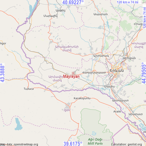
Mayisyan GPS coordinates[2]
40° 9' 25.236" North, 44° 5' 30.912" East
| Map corner | latitude | longitude |
|---|---|---|
| Upper-left | 40.69227°, | 43.3888° |
| Center: | 40.15701°, | 44.09192° |
| Lower-right: | 39.6175°, | 44.79505° |
| Map W x H: | 119.5×119.5 km | = 74.3×74.3mi |
| max Lat: | 41.24358° ⇑57.3% North |
| Mayisyan: | 40.15701° |
| min Lat: | ⇓42.7% South 38.90292° |
| min Long | Mayisyan | max Long |
| 43.74722° | 44.09192° | 46.5446° |
| W 15%⇐ | ⇒85% E |
Elevation
Elevation of Mayisyan is 874 m = 2867 ft, and this is 427.5 m = 1403 ft below average elevation for this country.
| Max E: |
2169 m = 7116 ft | 71.3% |
| Avg. | 1301.5 m = 4270 ft | |
| Mayisyan | 874 m = 2867 ft | |
Min E: |
440 m = 1444 ft | 28.7% |
See also: Armenia elevation on elevation.city.
Geographical zone
Mayisyan is located in North temperate zone (between Tropic of Cancer and the Arctic Circle). Distance of this Northern Tropic circle is 1859.1 km =1155.2 mi to South.| Distance of | km | miles | from Mayisyan |
|---|---|---|---|
| North Pole | 5542 | 3443.6 | to North |
| Arctic Circle | 2936.1 | 1824.4 | to North |
| Tropic Cancer | 1859.1 | 1155.2 | to South |
| Equator | 4465 | 2774.4 | to South |


Nearby cities:
15 places around Mayisyan: (largest is in red/bold)
• Aknalich
6.4 km =4 mi,  99°
99°
• Alashkert
6.5 km =4 mi,  212°
212°
• Arevik
6.3 km =3.9 mi,  178°
178°
• Argavand
10.7 km =6.6 mi, 178°
• Armavir
4.6 km =2.9 mi,  266°
266°
• Arshaluys
10.5 km =6.5 mi,  82°
82°
• Aygeshat
9.5 km =5.9 mi,  196°
196°
• Bambakashat
8.2 km =5.1 mi,  228°
228°
• Lukashin
8.2 km =5.1 mi,  294°
294°
• Metsamor
2.5 km =1.6 mi,  123°
123°
• Mrgashat
3.1 km =1.9 mi, 198°
• Sardarapat
7.5 km =4.7 mi,  248°
248°
• Tandzut
9.8 km =6.1 mi,  186°
186°
• Taronik
9.5 km =5.9 mi,  105°
105°
• Yeghegnut
9.9 km =6.2 mi,  139°
139°
Sources, notices
• [Note1] Compared only with cities in Armenia existing in our database
• [Src1] Map data: © OpenStreetMap contributors (CC-BY-SA)
• [Src2] Other city data from geonames.org with taken over terms of usage.
• [Src3] Geographical zone / Annual Mean Temperature by Robert A. Rohde @ Wikipedia
