Chambarak geodata
Chambarak (Gegharkunik) is a populated place; located in Armenia in Asia/Yerevan (GMT+4) time zone. With population of 6,153 people, there are 35 cities with bigger population in this country. Compared to other cities in Armenia, 74.2% of cities are located further ↓South; 88.5% of cities are located further ←West and 83.4% of cities have lower elevation than Chambarak. Note1


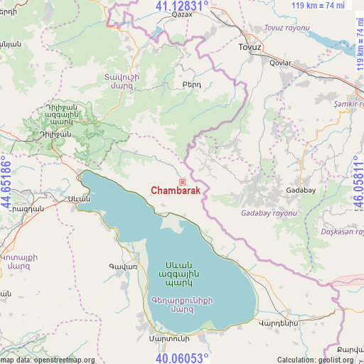
Chambarak GPS coordinates[2]
40° 35' 47.58" North, 45° 21' 17.928" East
| Map corner | latitude | longitude |
|---|---|---|
| Upper-left | 41.12831°, | 44.65186° |
| Center: | 40.59655°, | 45.35498° |
| Lower-right: | 40.06053°, | 46.05811° |
| Map W x H: | 118.7×118.7 km | = 73.8×73.8mi |
| max Lat: | 41.24358° ⇑25.8% North |
| Chambarak: | 40.59655° |
| min Lat: | ⇓74.2% South 38.90292° |
| min Long | Chambarak | max Long |
| 43.74722° | 45.35498° | 46.5446° |
| W 88.5%⇐ | ⇒11.5% E |
Elevation
Elevation of Chambarak is 1848 m = 6063 ft, and this is 546.5 m = 1793 ft above average elevation for this country.
| Max E: |
2169 m = 7116 ft | 16.6% |
| Chambarak | 1848 m 6063 ft | |
| Avg. | 1301.5 m = 4270 ft | |
Min E: |
440 m = 1444 ft | 83.4% |
See also: Armenia elevation on elevation.city.
Geographical zone
Chambarak is located in North temperate zone (between Tropic of Cancer and the Arctic Circle). Distance of this Northern Tropic circle is 1908 km =1185.6 mi to South.| Distance of | km | miles | from Chambarak |
|---|---|---|---|
| North Pole | 5493.1 | 3413.3 | to North |
| Arctic Circle | 2887.3 | 1794.1 | to North |
| Tropic Cancer | 1908 | 1185.6 | to South |
| Equator | 4513.9 | 2804.8 | to South |


Nearby cities:
15 places around Chambarak: (largest is in red/bold)
• Artsvaberd
28.7 km =17.8 mi,  19°
19°
• Aygut
17.9 km =11.1 mi,  302°
302°
• Berd
31.8 km =19.8 mi,  5°
5°
• Drakhtik
10.6 km =6.6 mi,  250°
250°
• Gavarr
33.3 km =20.7 mi,  215°
215°
• Gosh
33.4 km =20.8 mi, 296°
• Ijevan
35.9 km =22.3 mi,  330°
330°
• Lchap’
28.4 km =17.6 mi,  236°
236°
• Mosesgegh
36.1 km =22.4 mi, 18°
• Navur
30.1 km =18.7 mi,  357°
357°
• Noratus
28.4 km =17.6 mi,  211°
211°
• Sevan
35.3 km =21.9 mi,  261°
261°
• Tsovagyugh
33.5 km =20.8 mi,  277°
277°
• Tsovazard
29.1 km =18.1 mi, 242°
• Vahan
4.3 km =2.7 mi,  122°
122°
Sources, notices
• [Note1] Compared only with cities in Armenia existing in our database
• [Src1] Map data: © OpenStreetMap contributors (CC-BY-SA)
• [Src2] Other city data from geonames.org with taken over terms of usage.
• [Src3] Geographical zone / Annual Mean Temperature by Robert A. Rohde @ Wikipedia
