Vahan geodata
Vahan (Gegharkunik) is a populated place; located in Armenia in Asia/Yerevan (GMT+4) time zone. With population of 1,153 people, there are 276 cities with bigger population in this country. Compared to other cities in Armenia, 72.9% of cities are located further ↓South; 90.4% of cities are located further ←West and 87.9% of cities have lower elevation than Vahan. Note1


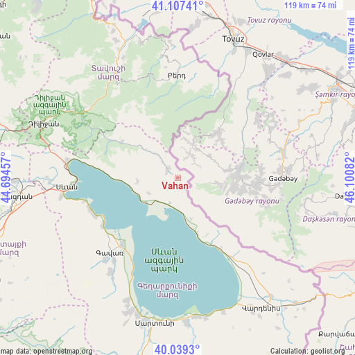
Vahan GPS coordinates[2]
40° 34' 31.764" North, 45° 23' 51.684" East
| Map corner | latitude | longitude |
|---|---|---|
| Upper-left | 41.10741°, | 44.69457° |
| Center: | 40.57549°, | 45.39769° |
| Lower-right: | 40.0393°, | 46.10082° |
| Map W x H: | 118.8×118.8 km | = 73.8×73.8mi |
| max Lat: | 41.24358° ⇑27.1% North |
| Vahan: | 40.57549° |
| min Lat: | ⇓72.9% South 38.90292° |
| min Long | Vahan | max Long |
| 43.74722° | 45.39769° | 46.5446° |
| W 90.4%⇐ | ⇒9.6% E |
Elevation
Elevation of Vahan is 1925 m = 6316 ft, and this is 623.5 m = 2046 ft above average elevation for this country.
| Max E: |
2169 m = 7116 ft | 12.1% |
| Vahan | 1925 m 6316 ft | |
| Avg. | 1301.5 m = 4270 ft | |
Min E: |
440 m = 1444 ft | 87.9% |
See also: Armenia elevation on elevation.city.
Geographical zone
Vahan is located in North temperate zone (between Tropic of Cancer and the Arctic Circle). Distance of this Northern Tropic circle is 1905.7 km =1184.1 mi to South.| Distance of | km | miles | from Vahan |
|---|---|---|---|
| North Pole | 5495.5 | 3414.7 | to North |
| Arctic Circle | 2889.6 | 1795.5 | to North |
| Tropic Cancer | 1905.7 | 1184.1 | to South |
| Equator | 4511.6 | 2803.4 | to South |


Nearby cities:
15 places around Vahan: (largest is in red/bold)
• Artsvaberd
30 km =18.6 mi,  11°
11°
• Aygut
22.2 km =13.8 mi,  302°
302°
• Berd
34 km =21.1 mi,  358°
358°
• Chambarak
4.3 km =2.7 mi, 302°
• Drakhtik
13.6 km =8.5 mi,  265°
265°
• Gandzak
37.8 km =23.5 mi,  219°
219°
• Gavarr
33.8 km =21 mi, 223°
• Geghamasar
37.9 km =23.5 mi,  140°
140°
• Gosh
37.7 km =23.4 mi, 297°
• Lchap’
30.4 km =18.9 mi,  243°
243°
• Mosesgegh
37.5 km =23.3 mi, 11°
• Navur
32.7 km =20.3 mi,  351°
351°
• Noratus
28.6 km =17.8 mi, 219°
• Tsovagyugh
37.4 km =23.2 mi,  279°
279°
• Tsovazard
31.4 km =19.5 mi,  249°
249°
Sources, notices
• [Note1] Compared only with cities in Armenia existing in our database
• [Src1] Map data: © OpenStreetMap contributors (CC-BY-SA)
• [Src2] Other city data from geonames.org with taken over terms of usage.
• [Src3] Geographical zone / Annual Mean Temperature by Robert A. Rohde @ Wikipedia
