Agarakavan geodata
Agarakavan (Aragatsotn) is a populated place; located in Armenia in Asia/Yerevan (GMT+4) time zone. With population of 1,575 people, there are 215 cities with bigger population in this country. Compared to other cities in Armenia, 61.5% of cities are located further ↓South; 86% of cities are located further →East and 59.6% of cities have lower elevation than Agarakavan. Note1


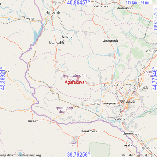
Agarakavan GPS coordinates[2]
40° 19' 50.484" North, 44° 4' 20.388" East
| Map corner | latitude | longitude |
|---|---|---|
| Upper-left | 40.86457°, | 43.36921° |
| Center: | 40.33069°, | 44.07233° |
| Lower-right: | 39.79256°, | 44.77546° |
| Map W x H: | 119.2×119.2 km | = 74.1×74.1mi |
| max Lat: | 41.24358° ⇑38.5% North |
| Agarakavan: | 40.33069° |
| min Lat: | ⇓61.5% South 38.90292° |
| min Long | Agarakavan | max Long |
| 43.74722° | 44.07233° | 46.5446° |
| W 14%⇐ | ⇒86% E |
Elevation
Elevation of Agarakavan is 1445 m = 4741 ft, and this is 143.5 m = 471 ft above average elevation for this country.
| Max E: |
2169 m = 7116 ft | 40.4% |
| Agarakavan | 1445 m 4741 ft | |
| Avg. | 1301.5 m = 4270 ft | |
Min E: |
440 m = 1444 ft | 59.6% |
See also: Armenia elevation on elevation.city.
Geographical zone
Agarakavan is located in North temperate zone (between Tropic of Cancer and the Arctic Circle). Distance of this Northern Tropic circle is 1878.4 km =1167.2 mi to South.| Distance of | km | miles | from Agarakavan |
|---|---|---|---|
| North Pole | 5522.7 | 3431.6 | to North |
| Arctic Circle | 2916.8 | 1812.4 | to North |
| Tropic Cancer | 1878.4 | 1167.2 | to South |
| Equator | 4484.4 | 2786.5 | to South |


Nearby cities:
15 places around Agarakavan: (largest is in red/bold)
• Aghavnatun
18.8 km =11.7 mi,  125°
125°
• Armavir
19.8 km =12.3 mi,  188°
188°
• Ashnak
13.2 km =8.2 mi,  270°
270°
• Aygeshat
21.2 km =13.2 mi,  119°
119°
• Byurakan
17 km =10.6 mi,  86°
86°
• Dalarik
20.1 km =12.5 mi,  235°
235°
• Doghs
20.8 km =12.9 mi, 125°
• Gmbet’
19.5 km =12.1 mi, 127°
• Kosh
8.3 km =5.2 mi,  114°
114°
• Lukashin
17 km =10.6 mi,  200°
200°
• Mayisyan
19.4 km =12.1 mi,  175°
175°
• Metsamor
21 km =13 mi,  169°
169°
• Myasnikyan
21.1 km =13.1 mi,  217°
217°
• T’alin
17.8 km =11.1 mi,  292°
292°
• Voskevaz
20.3 km =12.6 mi, 107°
Sources, notices
• [Note1] Compared only with cities in Armenia existing in our database
• [Src1] Map data: © OpenStreetMap contributors (CC-BY-SA)
• [Src2] Other city data from geonames.org with taken over terms of usage.
• [Src3] Geographical zone / Annual Mean Temperature by Robert A. Rohde @ Wikipedia
