Tacuarendí geodata
Tacuarendí (Santa Fe) is a populated place; located in Argentina in America/Argentina/Cordoba (GMT-3) time zone. With population of 3,067 people, there are 546 cities with bigger population in this country. Compared to other cities in Argentina, 71.9% of cities are located further ↓South; 74.2% of cities are located further ←West and 84.5% of cities have higher elevation than Tacuarendí. Note1


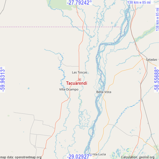
Tacuarendí GPS coordinates[2]
28° 24' 45.54" South, 59° 15' 36" West
| Map corner | latitude | longitude |
|---|---|---|
| Upper-left | -27.79242°, | -59.96313° |
| Center: | -28.41265°, | -59.26° |
| Lower-right: | -29.02927°, | -58.55688° |
| Map W x H: | 137.5×137.5 km | = 85.4×85.4mi |
| max Lat: | -21.94467° ⇑28.1% North |
| Tacuarendí: | -28.41265° |
| min Lat: | ⇓71.9% South -54.81084° |
| min Long | Tacuarendí | max Long |
| -72.88605° | -59.26° | -53.64581° |
| W 74.2%⇐ | ⇒25.8% E |
Elevation
Elevation of Tacuarendí is 50 m = 164 ft, and this is 299.3 m = 982 ft below average elevation for this country.
| Max E: |
4040 m = 13255 ft | 84.5% |
| Avg. | 349.3 m = 1146 ft | |
| Tacuarendí | 50 m = 164 ft | |
Min E: |
-2 m = -7 ft | 15.5% |
See also: Argentina elevation on elevation.city.
Geographical zone
Tacuarendí is located in South temperate zone (between Tropic of Capricorn and the Antarctic Circle). Distance of this Southern Tropic circle is 553.3 km =343.8 mi to North.| Distance of | km | miles | from Tacuarendí |
|---|---|---|---|
| Equator | 3159.2 | 1963 | to North |
| Tropic Capricorn | 553.3 | 343.8 | to North |
| Antarctic Circle | 4242 | 2635.9 | to South |
| South Pole | 6847.9 | 4255.1 | to South |


Nearby cities:
15 places around Tacuarendí: (largest is in red/bold)
• Basail
58.7 km =36.5 mi,  357°
357°
• Bella Vista
23.8 km =14.8 mi,  116°
116°
• Cruz de los Milagros
53.3 km =33.1 mi,  152°
152°
• Empedrado
67.9 km =42.2 mi,  40°
40°
• Gobernador Juan E. Martínez
63.9 km =39.7 mi, 150°
• Goya
80.9 km =50.3 mi,  180°
180°
• Las Toscas
6.6 km =4.1 mi,  1°
1°
• Nueve de Julio
63.7 km =39.6 mi,  138°
138°
• Pedro R. Fernández
70 km =43.5 mi, 122°
• Saladas
64.5 km =40.1 mi,  74°
74°
• San Lorenzo
57.4 km =35.7 mi,  57°
57°
• San Roque
56.9 km =35.4 mi,  108°
108°
• Santa Lucía
65.7 km =40.8 mi,  166°
166°
• Villa Ocampo
12.5 km =7.8 mi,  228°
228°
• Yataity Calle
75.6 km =47 mi, 153°
Sources, notices
• [Note1] Compared only with cities in Argentina existing in our database
• [Src1] Map data: © OpenStreetMap contributors (CC-BY-SA)
• [Src2] Other city data from geonames.org with taken over terms of usage.
• [Src3] Geographical zone / Annual Mean Temperature by Robert A. Rohde @ Wikipedia
