Basail geodata
Basail (Chaco) is a populated place; located in Argentina in America/Argentina/Cordoba (GMT-3) time zone. With population of 3,652 people, there are 512 cities with bigger population in this country. Compared to other cities in Argentina, 76% of cities are located further ↓South; 73.9% of cities are located further ←West and 80.6% of cities have higher elevation than Basail. Note1


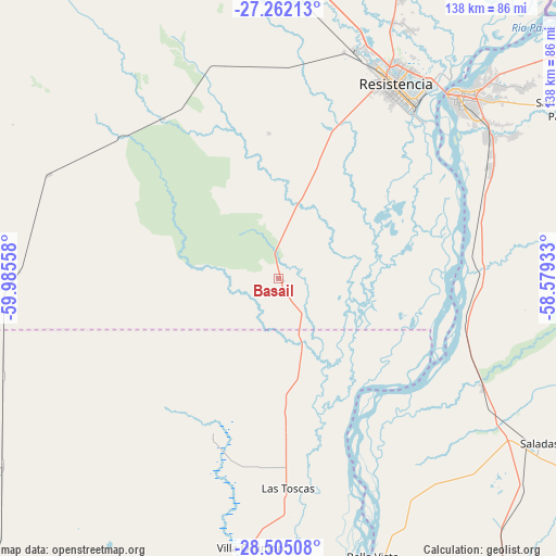
Basail GPS coordinates[2]
27° 53' 7.404" South, 59° 16' 56.82" West
| Map corner | latitude | longitude |
|---|---|---|
| Upper-left | -27.26213°, | -59.98558° |
| Center: | -27.88539°, | -59.28245° |
| Lower-right: | -28.50508°, | -58.57933° |
| Map W x H: | 138.2×138.2 km | = 85.9×85.9mi |
| max Lat: | -21.94467° ⇑24% North |
| Basail: | -27.88539° |
| min Lat: | ⇓76% South -54.81084° |
| min Long | Basail | max Long |
| -72.88605° | -59.28245° | -53.64581° |
| W 73.9%⇐ | ⇒26.1% E |
Elevation
Elevation of Basail is 57 m = 187 ft, and this is 292.3 m = 959 ft below average elevation for this country.
| Max E: |
4040 m = 13255 ft | 80.6% |
| Avg. | 349.3 m = 1146 ft | |
| Basail | 57 m = 187 ft | |
Min E: |
-2 m = -7 ft | 19.4% |
See also: Argentina elevation on elevation.city.
Geographical zone
Basail is located in South temperate zone (between Tropic of Capricorn and the Antarctic Circle). Distance of this Southern Tropic circle is 494.6 km =307.3 mi to North.| Distance of | km | miles | from Basail |
|---|---|---|---|
| Equator | 3100.6 | 1926.6 | to North |
| Tropic Capricorn | 494.6 | 307.3 | to North |
| Antarctic Circle | 4300.6 | 2672.3 | to South |
| South Pole | 6906.5 | 4291.5 | to South |


Nearby cities:
15 places around Basail: (largest is in red/bold)
• Barranqueras
56.2 km =34.9 mi,  36°
36°
• Charadai
62.6 km =38.9 mi,  294°
294°
• Colonia Benítez
70 km =43.5 mi,  28°
28°
• Corrientes
64 km =39.8 mi, 43°
• Coté-Lai
53 km =32.9 mi,  323°
323°
• Empedrado
47.4 km =29.5 mi,  98°
98°
• Fontana
57.9 km =36 mi, 26°
• Las Toscas
52 km =32.3 mi,  177°
177°
• Puerto Tirol
60.4 km =37.5 mi,  19°
19°
• Puerto Vilelas
53.4 km =33.2 mi, 39°
• Resistencia
55.6 km =34.5 mi, 31°
• Riachuelo
62.7 km =39 mi,  57°
57°
• San Lorenzo
57.6 km =35.8 mi,  118°
118°
• Tacuarendí
58.7 km =36.5 mi, 177°
• Villa Ocampo
67.3 km =41.8 mi,  186°
186°
Sources, notices
• [Note1] Compared only with cities in Argentina existing in our database
• [Src1] Map data: © OpenStreetMap contributors (CC-BY-SA)
• [Src2] Other city data from geonames.org with taken over terms of usage.
• [Src3] Geographical zone / Annual Mean Temperature by Robert A. Rohde @ Wikipedia
