Toledo geodata
Toledo (Cordoba) is a populated place; located in Argentina in America/Argentina/Cordoba (GMT-3) time zone. With population of 3,046 people, there are 548 cities with bigger population in this country. Compared to other cities in Argentina, 53.1% of cities are located further ↓South; 61.1% of cities are located further →East and 72% of cities have lower elevation than Toledo. Note1


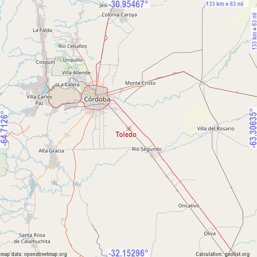
Toledo GPS coordinates[2]
31° 33' 20.664" South, 64° 0' 34.092" West
| Map corner | latitude | longitude |
|---|---|---|
| Upper-left | -30.95467°, | -64.7126° |
| Center: | -31.55574°, | -64.00947° |
| Lower-right: | -32.15296°, | -63.30635° |
| Map W x H: | 133.2×133.2 km | = 82.8×82.8mi |
| max Lat: | -21.94467° ⇑46.9% North |
| Toledo: | -31.55574° |
| min Lat: | ⇓53.1% South -54.81084° |
| min Long | Toledo | max Long |
| -72.88605° | -64.00947° | -53.64581° |
| W 38.9%⇐ | ⇒61.1% E |
Elevation
Elevation of Toledo is 371 m = 1217 ft, and this is 21.7 m = 71 ft above average elevation for this country.
| Max E: |
4040 m = 13255 ft | 28% |
| Toledo | 371 m 1217 ft | |
| Avg. | 349.3 m = 1146 ft | |
Min E: |
-2 m = -7 ft | 72% |
See also: Argentina elevation on elevation.city.
Geographical zone
Toledo is located in South temperate zone (between Tropic of Capricorn and the Antarctic Circle). Distance of this Southern Tropic circle is 902.8 km =561 mi to North.| Distance of | km | miles | from Toledo |
|---|---|---|---|
| Equator | 3508.7 | 2180.2 | to North |
| Tropic Capricorn | 902.8 | 561 | to North |
| Antarctic Circle | 3892.5 | 2418.7 | to South |
| South Pole | 6498.4 | 4037.9 | to South |


Nearby cities:
15 places around Toledo: (largest is in red/bold)
• Alta Gracia
41.1 km =25.5 mi,  254°
254°
• Costa Sacate
25.8 km =16 mi,  113°
113°
• Córdoba
22.7 km =14.1 mi,  314°
314°
• Despeñaderos
39.3 km =24.4 mi,  222°
222°
• La Calera
38.9 km =24.2 mi, 307°
• Laguna Larga
31.5 km =19.6 mi,  141°
141°
• Malagueño
34.6 km =21.5 mi,  287°
287°
• Malvinas Argentinas
19.8 km =12.3 mi,  347°
347°
• Mendiolaza
42.3 km =26.3 mi,  319°
319°
• Monte Cristo
24.4 km =15.2 mi,  14°
14°
• Pilar
18.4 km =11.4 mi, 138°
• Piquillín
37 km =23 mi,  40°
40°
• Río Segundo
14.3 km =8.9 mi, 138°
• Saldán
39.9 km =24.8 mi, 314°
• Villa Allende
39.7 km =24.7 mi, 316°
Sources, notices
• [Note1] Compared only with cities in Argentina existing in our database
• [Src1] Map data: © OpenStreetMap contributors (CC-BY-SA)
• [Src2] Other city data from geonames.org with taken over terms of usage.
• [Src3] Geographical zone / Annual Mean Temperature by Robert A. Rohde @ Wikipedia
