Santo Tomé geodata
Santo Tomé (Santa Fe) is a populated place; located in Argentina in America/Argentina/Cordoba (GMT-3) time zone. With population of 59,072 people, there are 70 cities with bigger population in this country. Compared to other cities in Argentina, 51.9% of cities are located further ↓South; 62.2% of cities are located further ←West and 94.7% of cities have higher elevation than Santo Tomé. Note1


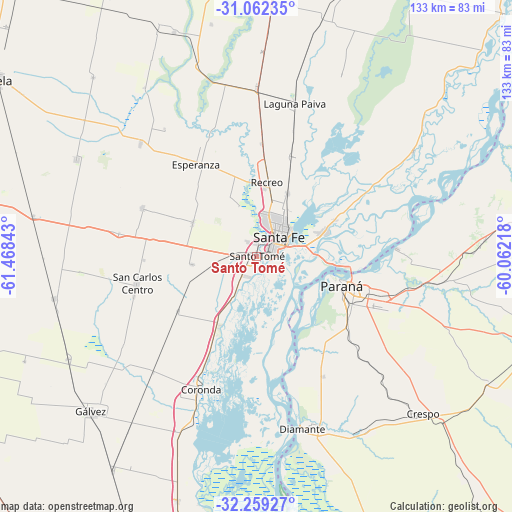
Santo Tomé GPS coordinates[2]
31° 39' 45.864" South, 60° 45' 55.08" West
| Map corner | latitude | longitude |
|---|---|---|
| Upper-left | -31.06235°, | -61.46843° |
| Center: | -31.66274°, | -60.7653° |
| Lower-right: | -32.25927°, | -60.06218° |
| Map W x H: | 133.1×133.1 km | = 82.7×82.7mi |
| max Lat: | -21.94467° ⇑48.1% North |
| Santo Tomé: | -31.66274° |
| min Lat: | ⇓51.9% South -54.81084° |
| min Long | Santo Tomé | max Long |
| -72.88605° | -60.7653° | -53.64581° |
| W 62.2%⇐ | ⇒37.8% E |
Elevation
Elevation of Santo Tomé is 19 m = 62 ft, and this is 330.3 m = 1084 ft below average elevation for this country.
| Max E: |
4040 m = 13255 ft | 94.7% |
| Avg. | 349.3 m = 1146 ft | |
| Santo Tomé | 19 m = 62 ft | |
Min E: |
-2 m = -7 ft | 5.3% |
See also: Santo Tomé elevation on elevation.city.
Geographical zone
Santo Tomé is located in South temperate zone (between Tropic of Capricorn and the Antarctic Circle). Distance of this Southern Tropic circle is 914.6 km =568.3 mi to North.| Distance of | km | miles | from Santo Tomé |
|---|---|---|---|
| Equator | 3520.6 | 2187.6 | to North |
| Tropic Capricorn | 914.6 | 568.3 | to North |
| Antarctic Circle | 3880.6 | 2411.3 | to South |
| South Pole | 6486.5 | 4030.5 | to South |


Nearby cities:
15 places around Santo Tomé: (largest is in red/bold)
• Bella Italia
74.4 km =46.2 mi,  304°
304°
• Coronda
37.4 km =23.2 mi,  202°
202°
• Crespo
59.4 km =36.9 mi,  133°
133°
• Diamante
46.5 km =28.9 mi,  165°
165°
• Esperanza
28.5 km =17.7 mi,  326°
326°
• Gálvez
59.3 km =36.8 mi,  226°
226°
• Laguna Paiva
41.2 km =25.6 mi,  14°
14°
• Oro Verde
29.6 km =18.4 mi, 127°
• Paraná
23.7 km =14.7 mi,  109°
109°
• Recreo
19.4 km =12.1 mi, 9°
• San Benito
33.4 km =20.8 mi, 113°
• San Carlos Centro
31.8 km =19.8 mi,  256°
256°
• Santa Fe
5.6 km =3.5 mi,  73°
73°
• Seguí
68.8 km =42.8 mi,  118°
118°
• Villa Urquiza
37 km =23 mi,  87°
87°
Sources, notices
• [Note1] Compared only with cities in Argentina existing in our database
• [Src1] Map data: © OpenStreetMap contributors (CC-BY-SA)
• [Src2] Other city data from geonames.org with taken over terms of usage.
• [Src3] Geographical zone / Annual Mean Temperature by Robert A. Rohde @ Wikipedia
