Gálvez geodata
Gálvez (Santa Fe) is a populated place; located in Argentina in America/Argentina/Cordoba (GMT-3) time zone. With population of 18,374 people, there are 199 cities with bigger population in this country. Compared to other cities in Argentina, 52.2% of cities are located further ↑North; 59.6% of cities are located further ←West and 80.6% of cities have higher elevation than Gálvez. Note1


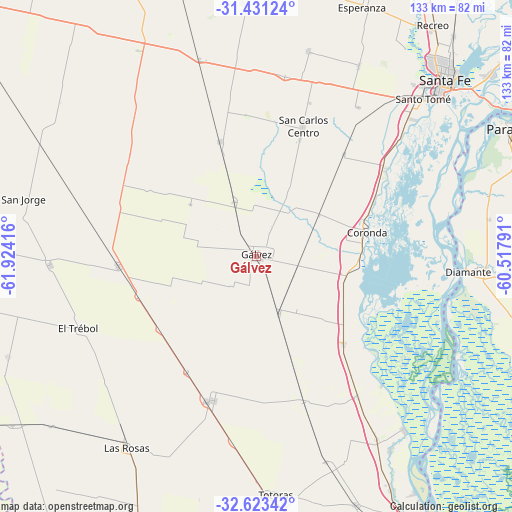
Gálvez GPS coordinates[2]
32° 1' 45.372" South, 61° 13' 15.708" West
| Map corner | latitude | longitude |
|---|---|---|
| Upper-left | -31.43124°, | -61.92416° |
| Center: | -32.02927°, | -61.22103° |
| Lower-right: | -32.62342°, | -60.51791° |
| Map W x H: | 132.6×132.6 km | = 82.4×82.4mi |
| max Lat: | -21.94467° ⇑52.2% North |
| Gálvez: | -32.02927° |
| min Lat: | ⇓47.8% South -54.81084° |
| min Long | Gálvez | max Long |
| -72.88605° | -61.22103° | -53.64581° |
| W 59.6%⇐ | ⇒40.4% E |
Elevation
Elevation of Gálvez is 57 m = 187 ft, and this is 292.3 m = 959 ft below average elevation for this country.
| Max E: |
4040 m = 13255 ft | 80.6% |
| Avg. | 349.3 m = 1146 ft | |
| Gálvez | 57 m = 187 ft | |
Min E: |
-2 m = -7 ft | 19.4% |
See also: Argentina elevation on elevation.city.
Geographical zone
Gálvez is located in South temperate zone (between Tropic of Capricorn and the Antarctic Circle). Distance of this Southern Tropic circle is 955.4 km =593.7 mi to North.| Distance of | km | miles | from Gálvez |
|---|---|---|---|
| Equator | 3561.3 | 2212.9 | to North |
| Tropic Capricorn | 955.4 | 593.7 | to North |
| Antarctic Circle | 3839.9 | 2386 | to South |
| South Pole | 6445.7 | 4005.2 | to South |


Nearby cities:
15 places around Gálvez: (largest is in red/bold)
• Coronda
29.1 km =18.1 mi,  77°
77°
• Diamante
55.1 km =34.2 mi,  94°
94°
• El Trébol
49.1 km =30.5 mi,  247°
247°
• Esperanza
70.1 km =43.6 mi,  22°
22°
• Las Parejas
78 km =48.5 mi,  200°
200°
• Las Rosas
60.1 km =37.3 mi,  214°
214°
• Oro Verde
70.2 km =43.6 mi,  71°
71°
• Paraná
73.2 km =45.5 mi,  63°
63°
• Recreo
75.6 km =47 mi,  37°
37°
• San Carlos Centro
35.6 km =22.1 mi, 20°
• San Jorge
62.1 km =38.6 mi,  283°
283°
• Santa Fe
64.3 km =40 mi,  48°
48°
• Santo Tomé
59.3 km =36.8 mi, 46°
• Sastre
64.3 km =40 mi,  296°
296°
• Totoras
61.9 km =38.5 mi,  175°
175°
Sources, notices
• [Note1] Compared only with cities in Argentina existing in our database
• [Src1] Map data: © OpenStreetMap contributors (CC-BY-SA)
• [Src2] Other city data from geonames.org with taken over terms of usage.
• [Src3] Geographical zone / Annual Mean Temperature by Robert A. Rohde @ Wikipedia
