San Justo geodata
San Justo (Santa Fe) is a seat of a second-order administrative division; located in Argentina in America/Argentina/Cordoba (GMT-3) time zone. With population of 21,809 people, there are 177 cities with bigger population in this country. Compared to other cities in Argentina, 61.5% of cities are located further ↓South; 64.1% of cities are located further ←West and 79.6% of cities have higher elevation than San Justo. Note1


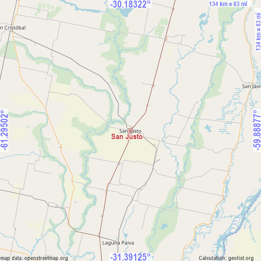
San Justo GPS coordinates[2]
30° 47' 20.868" South, 60° 35' 30.804" West
| Map corner | latitude | longitude |
|---|---|---|
| Upper-left | -30.18322°, | -61.29502° |
| Center: | -30.78913°, | -60.59189° |
| Lower-right: | -31.39125°, | -59.88877° |
| Map W x H: | 134.3×134.3 km | = 83.5×83.5mi |
| max Lat: | -21.94467° ⇑38.5% North |
| San Justo: | -30.78913° |
| min Lat: | ⇓61.5% South -54.81084° |
| min Long | San Justo | max Long |
| -72.88605° | -60.59189° | -53.64581° |
| W 64.1%⇐ | ⇒35.9% E |
Elevation
Elevation of San Justo is 59 m = 194 ft, and this is 290.3 m = 952 ft below average elevation for this country.
| Max E: |
4040 m = 13255 ft | 79.6% |
| Avg. | 349.3 m = 1146 ft | |
| San Justo | 59 m = 194 ft | |
Min E: |
-2 m = -7 ft | 20.4% |
See also: Argentina elevation on elevation.city.
Geographical zone
San Justo is located in South temperate zone (between Tropic of Capricorn and the Antarctic Circle). Distance of this Southern Tropic circle is 817.5 km =508 mi to North.| Distance of | km | miles | from San Justo |
|---|---|---|---|
| Equator | 3423.4 | 2127.2 | to North |
| Tropic Capricorn | 817.5 | 508 | to North |
| Antarctic Circle | 3977.7 | 2471.6 | to South |
| South Pole | 6583.6 | 4090.9 | to South |


Nearby cities:
15 places around San Justo: (largest is in red/bold)
• Bella Italia
95.3 km =59.2 mi,  234°
234°
• Colonia La Brava
57.7 km =35.9 mi,  48°
48°
• Esperanza
80.2 km =49.8 mi,  203°
203°
• Helvecia
59.1 km =36.7 mi,  125°
125°
• La Paz
90.6 km =56.3 mi,  86°
86°
• Laguna Paiva
57.6 km =35.8 mi,  186°
186°
• Piedras Blancas
75.3 km =46.8 mi, 125°
• Recreo
79.2 km =49.2 mi, 189°
• San Cristóbal
81.6 km =50.7 mi,  310°
310°
• San Javier
67.4 km =41.9 mi,  69°
69°
• Santa Elena
78.6 km =48.8 mi,  102°
102°
• Santa Fe
96.2 km =59.8 mi, 186°
• Sunchales
94.1 km =58.5 mi,  259°
259°
• Villa Hernandarias
75.9 km =47.2 mi, 130°
• Villa Urquiza
97.6 km =60.6 mi,  167°
167°
Sources, notices
• [Note1] Compared only with cities in Argentina existing in our database
• [Src1] Map data: © OpenStreetMap contributors (CC-BY-SA)
• [Src2] Other city data from geonames.org with taken over terms of usage.
• [Src3] Geographical zone / Annual Mean Temperature by Robert A. Rohde @ Wikipedia
