General Pico geodata
General Pico (La Pampa) is a seat of a second-order administrative division; located in Argentina in America/Argentina/Salta (GMT-3) time zone. With population of 57,029 people, there are 75 cities with bigger population in this country. Compared to other cities in Argentina, 80.7% of cities are located further ↑North; 58.4% of cities are located further →East and 50.3% of cities have higher elevation than General Pico. Note1


General Pico GPS coordinates[2]
35° 39' 23.832" South, 63° 45' 24.552" West
| Map corner | latitude | longitude |
|---|---|---|
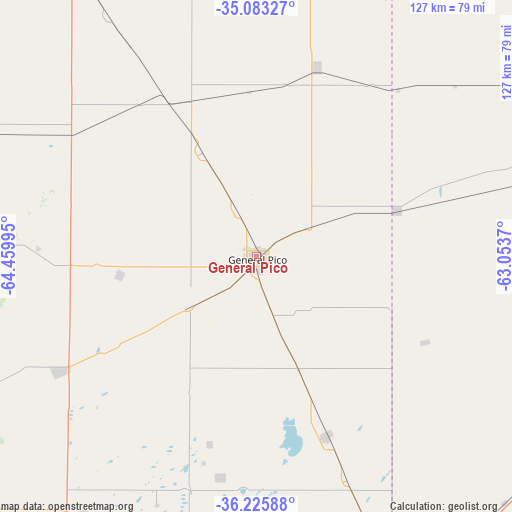
| Upper-left | -35.08327°, | -64.45995° |
| Center: | -35.65662°, | -63.75682° |
| Lower-right: | -36.22588°, | -63.0537° |
| Map W x H: | 127×127 km | = 78.9×78.9mi |
| max Lat: | -21.94467° ⇑80.7% North |
| General Pico: | -35.65662° |
| min Lat: | ⇓19.3% South -54.81084° |
| min Long | General Pico | max Long |
| -72.88605° | -63.75682° | -53.64581° |
| W 41.6%⇐ | ⇒58.4% E |
Elevation
Elevation of General Pico is 143 m = 469 ft, and this is 206.3 m = 677 ft below average elevation for this country.
| Max E: |
4040 m = 13255 ft | 50.3% |
| Avg. | 349.3 m = 1146 ft | |
| General Pico | 143 m = 469 ft | |
Min E: |
-2 m = -7 ft | 49.7% |
See also: General Pico elevation on elevation.city.
Geographical zone
General Pico is located in South temperate zone (between Tropic of Capricorn and the Antarctic Circle). Distance of this Southern Tropic circle is 1358.7 km =844.3 mi to North.| Distance of | km | miles | from General Pico |
|---|---|---|---|
| Equator | 3964.6 | 2463.5 | to North |
| Tropic Capricorn | 1358.7 | 844.3 | to North |
| Antarctic Circle | 3436.5 | 2135.3 | to South |
| South Pole | 6042.4 | 3754.6 | to South |


Nearby cities:
15 places around General Pico: (largest is in red/bold)
• Alta Italia
48.4 km =30.1 mi,  317°
317°
• Arata
54.2 km =33.7 mi,  272°
272°
• Bernardo Larroudé
72 km =44.7 mi,  12°
12°
• Caleufú
72.7 km =45.2 mi,  275°
275°
• Colonia Barón
55.7 km =34.6 mi,  189°
189°
• Eduardo Castex
56.4 km =35 mi,  239°
239°
• Embajador Martini
56.1 km =34.9 mi,  302°
302°
• Ingeniero Luiggi
70.8 km =44 mi, 295°
• Intendente Alvear
49.3 km =30.6 mi,  17°
17°
• Parera
88.2 km =54.8 mi,  310°
310°
• Pellegrini
86.1 km =53.5 mi,  141°
141°
• Quemú Quemú
47.5 km =29.5 mi,  158°
158°
• Realicó
81.9 km =50.9 mi,  327°
327°
• Trenel
34.2 km =21.3 mi,  262°
262°
• Winifreda
76.5 km =47.5 mi,  214°
214°
Sources, notices
• [Note1] Compared only with cities in Argentina existing in our database
• [Src1] Map data: © OpenStreetMap contributors (CC-BY-SA)
• [Src2] Other city data from geonames.org with taken over terms of usage.
• [Src3] Geographical zone / Annual Mean Temperature by Robert A. Rohde @ Wikipedia
