Berrotarán geodata
Berrotarán (Cordoba) is a populated place; located in Argentina in America/Argentina/Cordoba (GMT-3) time zone. With population of 6,446 people, there are 385 cities with bigger population in this country. Compared to other cities in Argentina, 56.4% of cities are located further ↑North; 66.8% of cities are located further →East and 82.8% of cities have lower elevation than Berrotarán. Note1


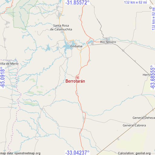
Berrotarán GPS coordinates[2]
32° 27' 3.6" South, 64° 23' 19.212" West
| Map corner | latitude | longitude |
|---|---|---|
| Upper-left | -31.85572°, | -65.0918° |
| Center: | -32.451°, | -64.38867° |
| Lower-right: | -33.04237°, | -63.68555° |
| Map W x H: | 131.9×131.9 km | = 82×82mi |
| max Lat: | -21.94467° ⇑56.4% North |
| Berrotarán: | -32.451° |
| min Lat: | ⇓43.6% South -54.81084° |
| min Long | Berrotarán | max Long |
| -72.88605° | -64.38867° | -53.64581° |
| W 33.2%⇐ | ⇒66.8% E |
Elevation
Elevation of Berrotarán is 631 m = 2070 ft, and this is 281.7 m = 924 ft above average elevation for this country.
| Max E: |
4040 m = 13255 ft | 17.2% |
| Berrotarán | 631 m 2070 ft | |
| Avg. | 349.3 m = 1146 ft | |
Min E: |
-2 m = -7 ft | 82.8% |
See also: Argentina elevation on elevation.city.
Geographical zone
Berrotarán is located in South temperate zone (between Tropic of Capricorn and the Antarctic Circle). Distance of this Southern Tropic circle is 1002.3 km =622.8 mi to North.| Distance of | km | miles | from Berrotarán |
|---|---|---|---|
| Equator | 3608.2 | 2242 | to North |
| Tropic Capricorn | 1002.3 | 622.8 | to North |
| Antarctic Circle | 3793 | 2356.9 | to South |
| South Pole | 6398.8 | 3976 | to South |


Nearby cities:
15 places around Berrotarán: (largest is in red/bold)
• Almafuerte
31.3 km =19.4 mi,  23°
23°
• Coronel Baigorria
44.2 km =27.5 mi,  176°
176°
• Corralito
50.9 km =31.6 mi, 21°
• Elena
13.5 km =8.4 mi, 182°
• Embalse
30.3 km =18.8 mi,  354°
354°
• Los Cóndores
17.9 km =11.1 mi,  35°
35°
• Merlo
59.9 km =37.2 mi,  281°
281°
• Río Tercero
40.3 km =25 mi, 39°
• San Agustín
52.7 km =32.7 mi,  1°
1°
• Santa Rosa de Calamuchita
44.7 km =27.8 mi,  341°
341°
• Tancacha
44.8 km =27.8 mi,  58°
58°
• Villa Ascasubi
56.6 km =35.2 mi, 55°
• Villa General Belgrano
54.9 km =34.1 mi, 343°
• Villa Rumipal
30.5 km =19 mi, 343°
• Villa del Dique
31.1 km =19.3 mi, 348°
Sources, notices
• [Note1] Compared only with cities in Argentina existing in our database
• [Src1] Map data: © OpenStreetMap contributors (CC-BY-SA)
• [Src2] Other city data from geonames.org with taken over terms of usage.
• [Src3] Geographical zone / Annual Mean Temperature by Robert A. Rohde @ Wikipedia
