Unteramt geodata
Unteramt (Lower Austria) is a populated place; located in Austria in Europe/Vienna (GMT+2) time zone. With population of 694 people, there are 1872 cities with bigger population in this country. Compared to other cities in Austria, 66% of cities are located further ↓South; 54.8% of cities are located further ←West and 52.6% of cities have lower elevation than Unteramt. Note1
Administrative division(s):
- Level 1: Lower Austria
- Level 2: Politischer Bezirk Scheibbs
- Level 3: Gresten-Land


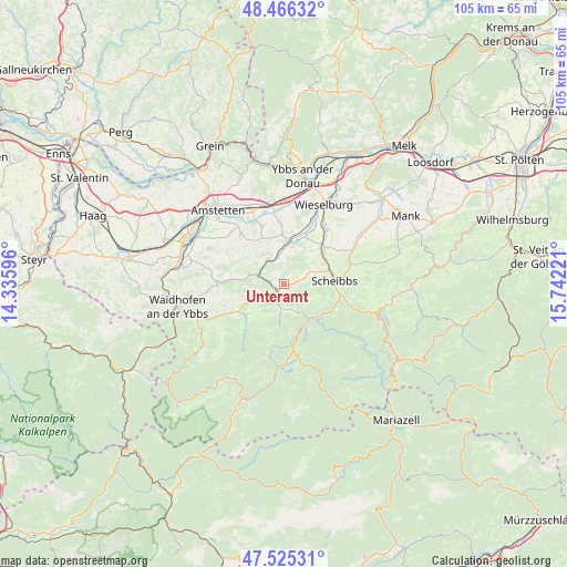
Unteramt GPS coordinates[2]
47° 59' 52.656" North, 15° 2' 20.688" East
| Map corner | latitude | longitude |
|---|---|---|
| Upper-left | 48.46632°, | 14.33596° |
| Center: | 47.99796°, | 15.03908° |
| Lower-right: | 47.52531°, | 15.74221° |
| Map W x H: | 104.6×104.6 km | = 65×65mi |
| max Lat: | 48.98333° ⇑34% North |
| Unteramt: | 47.99796° |
| min Lat: | ⇓66% South 46.48841° |
| min Long | Unteramt | max Long |
| 9.57802° | 15.03908° | 17.1° |
| W 54.8%⇐ | ⇒45.2% E |
Elevation
Elevation of Unteramt is 469 m = 1539 ft, and this is 36.5 m = 120 ft below average elevation for this country.
| Max E: |
2140 m = 7021 ft | 47.4% |
| Avg. | 505.5 m = 1658 ft | |
| Unteramt | 469 m = 1539 ft | |
Min E: |
118 m = 387 ft | 52.6% |
See also: Austria elevation on elevation.city.
Geographical zone
Unteramt is located in North temperate zone (between Tropic of Cancer and the Arctic Circle). Distance of this North polar circle is 2064.3 km =1282.7 mi to North.| Distance of | km | miles | from Unteramt |
|---|---|---|---|
| North Pole | 4670.2 | 2901.9 | to North |
| Arctic Circle | 2064.3 | 1282.7 | to North |
| Tropic Cancer | 2731 | 1697 | to South |
| Equator | 5336.9 | 3316.2 | to South |


Nearby cities:
15 places around Unteramt: (largest is in red/bold)
• Euratsfeld
12.3 km =7.6 mi,  319°
319°
• Ferschnitz
11.4 km =7.1 mi,  339°
339°
• Gaming
8.5 km =5.3 mi,  154°
154°
• Gresten
1.7 km =1.1 mi,  215°
215°
• Höfling
6.3 km =3.9 mi,  358°
358°
• Mühling
13.4 km =8.3 mi,  30°
30°
• Purgstall
9.8 km =6.1 mi,  46°
46°
• Randegg
5.1 km =3.2 mi,  287°
287°
• Reinsberg
2.7 km =1.7 mi,  120°
120°
• Sankt Georgen an der Leys
14.5 km =9 mi,  75°
75°
• Scheibbs
9.6 km =6 mi,  85°
85°
• Steinakirchen am Forst
8 km =5 mi,  4°
4°
• Wang
5.4 km =3.4 mi,  350°
350°
• Wolfpassing
9.1 km =5.7 mi,  12°
12°
• Ybbsitz
12.3 km =7.6 mi,  242°
242°
Sources, notices
• [Note1] Compared only with cities in Austria existing in our database
• [Src1] Map data: © OpenStreetMap contributors (CC-BY-SA)
• [Src2] Other city data from geonames.org with taken over terms of usage.
• [Src3] Geographical zone / Annual Mean Temperature by Robert A. Rohde @ Wikipedia
