Schäffern geodata
Schäffern (Styria) is a seat of a third-order administrative division; located in Austria in Europe/Vienna (GMT+2) time zone. With population of 432 people, there are 2586 cities with bigger population in this country. Compared to other cities in Austria, 55% of cities are located further ↑North; 83.3% of cities are located further ←West and 70.8% of cities have lower elevation than Schäffern. Note1
Administrative division(s):
- Level 1: Styria
- Level 2: Politischer Bezirk Hartberg-Fürstenfeld
- Level 3: Schäffern


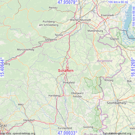
Schäffern GPS coordinates[2]
47° 28' 39.756" North, 16° 6' 34.416" East
| Map corner | latitude | longitude |
|---|---|---|
| Upper-left | 47.95079°, | 15.40644° |
| Center: | 47.47771°, | 16.10956° |
| Lower-right: | 47.00033°, | 16.81269° |
| Map W x H: | 105.7×105.7 km | = 65.7×65.7mi |
| max Lat: | 48.98333° ⇑55% North |
| Schäffern: | 47.47771° |
| min Lat: | ⇓45% South 46.48841° |
| min Long | Schäffern | max Long |
| 9.57802° | 16.10956° | 17.1° |
| W 83.3%⇐ | ⇒16.7% E |
Elevation
Elevation of Schäffern is 598 m = 1962 ft, and this is 92.5 m = 303 ft above average elevation for this country.
| Max E: |
2140 m = 7021 ft | 29.2% |
| Schäffern | 598 m 1962 ft | |
| Avg. | 505.5 m = 1658 ft | |
Min E: |
118 m = 387 ft | 70.8% |
See also: Austria elevation on elevation.city.
Geographical zone
Schäffern is located in North temperate zone (between Tropic of Cancer and the Arctic Circle). Distance of this North polar circle is 2122.1 km =1318.6 mi to North.| Distance of | km | miles | from Schäffern |
|---|---|---|---|
| North Pole | 4728 | 2937.8 | to North |
| Arctic Circle | 2122.1 | 1318.6 | to North |
| Tropic Cancer | 2673.1 | 1661 | to South |
| Equator | 5279 | 3280.2 | to South |


Nearby cities:
15 places around Schäffern: (largest is in red/bold)
• Aspang Markt
8.3 km =5.2 mi,  346°
346°
• Bad Schönau
9.5 km =5.9 mi,  78°
78°
• Dechantskirchen
9.7 km =6 mi,  225°
225°
• Ehrenschachen
8.8 km =5.5 mi,  208°
208°
• Friedberg
6.7 km =4.2 mi,  222°
222°
• Krumbach Markt
7 km =4.3 mi,  51°
51°
• Königsberg
11.6 km =7.2 mi,  8°
8°
• Mönichkirchen
6.7 km =4.2 mi,  302°
302°
• Ortgraben
5.4 km =3.4 mi,  235°
235°
• Pinggau
5.1 km =3.2 mi, 219°
• Sankt Lorenzen am Wechsel
12.3 km =7.6 mi,  250°
250°
• Thomasberg
10.1 km =6.3 mi, 10°
• Tiefenbach
10.1 km =6.3 mi, 50°
• Wiesfleck
10.7 km =6.6 mi,  165°
165°
• Zöbern
4.4 km =2.7 mi,  21°
21°
Sources, notices
• [Note1] Compared only with cities in Austria existing in our database
• [Src1] Map data: © OpenStreetMap contributors (CC-BY-SA)
• [Src2] Other city data from geonames.org with taken over terms of usage.
• [Src3] Geographical zone / Annual Mean Temperature by Robert A. Rohde @ Wikipedia
