Rekawinkel geodata
Rekawinkel (Lower Austria) is a populated place; located in Austria in Europe/Vienna (GMT+2) time zone. With population of 783 people, there are 1649 cities with bigger population in this country. Compared to other cities in Austria, 77.6% of cities are located further ↓South; 81% of cities are located further ←West and 59.7% of cities have higher elevation than Rekawinkel. Note1
Administrative division(s):
- Level 1: Lower Austria
- Level 2: Politischer Bezirk Sankt Pölten
- Level 3: Pressbaum


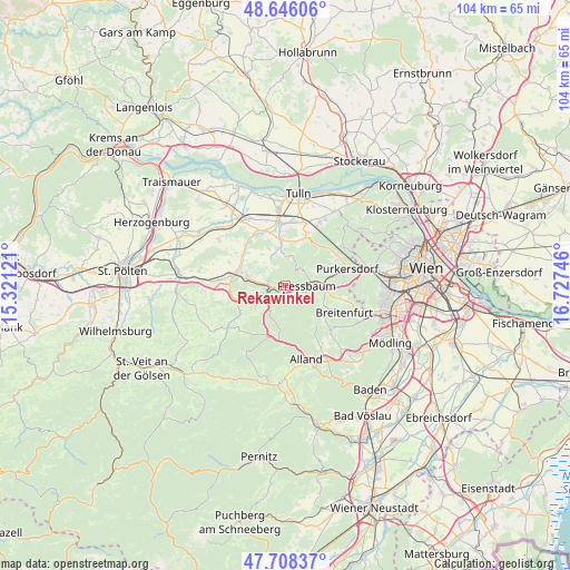
Rekawinkel GPS coordinates[2]
48° 10' 45.696" North, 16° 1' 27.588" East
| Map corner | latitude | longitude |
|---|---|---|
| Upper-left | 48.64606°, | 15.32121° |
| Center: | 48.17936°, | 16.02433° |
| Lower-right: | 47.70837°, | 16.72746° |
| Map W x H: | 104.3×104.3 km | = 64.8×64.8mi |
| max Lat: | 48.98333° ⇑22.4% North |
| Rekawinkel: | 48.17936° |
| min Lat: | ⇓77.6% South 46.48841° |
| min Long | Rekawinkel | max Long |
| 9.57802° | 16.02433° | 17.1° |
| W 81%⇐ | ⇒19% E |
Elevation
Elevation of Rekawinkel is 385 m = 1263 ft, and this is 120.5 m = 395 ft below average elevation for this country.
| Max E: |
2140 m = 7021 ft | 59.7% |
| Avg. | 505.5 m = 1658 ft | |
| Rekawinkel | 385 m = 1263 ft | |
Min E: |
118 m = 387 ft | 40.3% |
See also: Austria elevation on elevation.city.
Geographical zone
Rekawinkel is located in North temperate zone (between Tropic of Cancer and the Arctic Circle). Distance of this North polar circle is 2044.1 km =1270.1 mi to North.| Distance of | km | miles | from Rekawinkel |
|---|---|---|---|
| North Pole | 4650 | 2889.4 | to North |
| Arctic Circle | 2044.1 | 1270.1 | to North |
| Tropic Cancer | 2751.1 | 1709.5 | to South |
| Equator | 5357 | 3328.7 | to South |


Nearby cities:
15 places around Rekawinkel: (largest is in red/bold)
• Altlengbach
7.8 km =4.8 mi,  248°
248°
• Au am Anzbach
8 km =5 mi,  287°
287°
• Eichgraben
3.1 km =1.9 mi, 254°
• Elsbach
8.3 km =5.2 mi,  13°
13°
• Hinterleiten
4.6 km =2.9 mi, 249°
• Hutten
2.9 km =1.8 mi,  268°
268°
• Irenental
6.2 km =3.9 mi,  62°
62°
• Maria-Anzbach
7 km =4.3 mi,  279°
279°
• Ottenheim
3.6 km =2.2 mi,  263°
263°
• Pfalzau
3.5 km =2.2 mi,  126°
126°
• Pressbaum
4.4 km =2.7 mi,  84°
84°
• Sieghartskirchen
8.5 km =5.3 mi,  353°
353°
• Stein
3.4 km =2.1 mi, 288°
• Tullnerbach-Lawies
5.1 km =3.2 mi, 77°
• Wolfsgraben
7.5 km =4.7 mi,  107°
107°
Sources, notices
• [Note1] Compared only with cities in Austria existing in our database
• [Src1] Map data: © OpenStreetMap contributors (CC-BY-SA)
• [Src2] Other city data from geonames.org with taken over terms of usage.
• [Src3] Geographical zone / Annual Mean Temperature by Robert A. Rohde @ Wikipedia
