Kalwang geodata
Kalwang (Styria) is a seat of a third-order administrative division; located in Austria in Europe/Vienna (GMT+2) time zone. With population of 772 people, there are 1672 cities with bigger population in this country. Compared to other cities in Austria, 57.8% of cities are located further ↑North; 50.6% of cities are located further ←West and 82.1% of cities have lower elevation than Kalwang. Note1


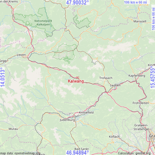
Kalwang GPS coordinates[2]
47° 25' 36.408" North, 14° 45' 15.912" East
| Map corner | latitude | longitude |
|---|---|---|
| Upper-left | 47.90032°, | 14.0513° |
| Center: | 47.42678°, | 14.75442° |
| Lower-right: | 46.94894°, | 15.45755° |
| Map W x H: | 105.8×105.8 km | = 65.7×65.7mi |
| max Lat: | 48.98333° ⇑57.8% North |
| Kalwang: | 47.42678° |
| min Lat: | ⇓42.2% South 46.48841° |
| min Long | Kalwang | max Long |
| 9.57802° | 14.75442° | 17.1° |
| W 50.6%⇐ | ⇒49.4% E |
Elevation
Elevation of Kalwang is 753 m = 2470 ft, and this is 247.5 m = 812 ft above average elevation for this country.
| Max E: |
2140 m = 7021 ft | 17.9% |
| Kalwang | 753 m 2470 ft | |
| Avg. | 505.5 m = 1658 ft | |
Min E: |
118 m = 387 ft | 82.1% |
See also: Austria elevation on elevation.city.
Geographical zone
Kalwang is located in North temperate zone (between Tropic of Cancer and the Arctic Circle). Distance of this North polar circle is 2127.8 km =1322.2 mi to North.| Distance of | km | miles | from Kalwang |
|---|---|---|---|
| North Pole | 4733.7 | 2941.4 | to North |
| Arctic Circle | 2127.8 | 1322.2 | to North |
| Tropic Cancer | 2667.4 | 1657.4 | to South |
| Equator | 5273.4 | 3276.7 | to South |


Nearby cities:
15 places around Kalwang: (largest is in red/bold)
• Eisenerz
15.3 km =9.5 mi,  39°
39°
• Gaal
18.3 km =11.4 mi,  200°
200°
• Gaishorn
17.1 km =10.6 mi,  294°
294°
• Johnsbach
17.5 km =10.9 mi,  312°
312°
• Kammern im Liesingtal
11.9 km =7.4 mi,  108°
108°
• Kraubath an der Mur
19.5 km =12.1 mi,  136°
136°
• Mautern in Steiermark
6.6 km =4.1 mi,  116°
116°
• Sankt Marein bei Knittelfeld
18.8 km =11.7 mi,  154°
154°
• Seckau
17.9 km =11.1 mi,  173°
173°
• Timmersdorf
17.6 km =10.9 mi, 108°
• Traboch
18.3 km =11.4 mi, 107°
• Treglwang
13.4 km =8.3 mi, 293°
• Trofaiach
19 km =11.8 mi,  90°
90°
• Vordernberg
19.3 km =12 mi,  69°
69°
• Wald am Schoberpaß
6.4 km =4 mi, 292°
Sources, notices
• [Note1] Compared only with cities in Austria existing in our database
• [Src1] Map data: © OpenStreetMap contributors (CC-BY-SA)
• [Src2] Other city data from geonames.org with taken over terms of usage.
• [Src3] Geographical zone / Annual Mean Temperature by Robert A. Rohde @ Wikipedia
