Ernsthofen geodata
Ernsthofen (Lower Austria) is a populated place; located in Austria in Europe/Vienna (GMT+2) time zone. With population of 2,230 people, there are 545 cities with bigger population in this country. Compared to other cities in Austria, 74.2% of cities are located further ↓South; 53.6% of cities are located further →East and 80% of cities have higher elevation than Ernsthofen. Note1
Administrative division(s):
- Level 1: Lower Austria
- Level 2: Politischer Bezirk Amstetten
- Level 3: Ernsthofen


Ernsthofen GPS coordinates[2]
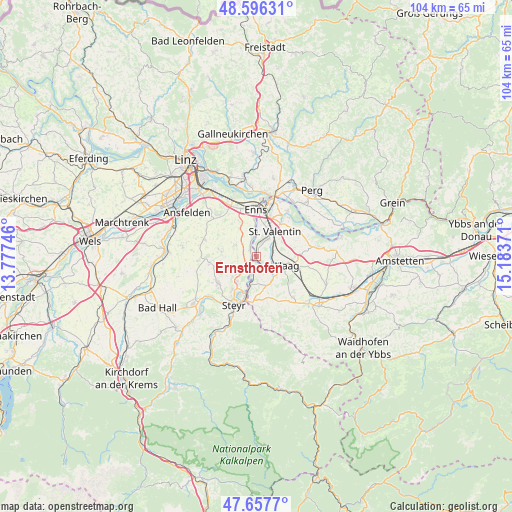
48° 7' 44.94" North, 14° 28' 50.088" East
| Map corner | latitude | longitude |
|---|---|---|
| Upper-left | 48.59631°, | 13.77746° |
| Center: | 48.12915°, | 14.48058° |
| Lower-right: | 47.6577°, | 15.18371° |
| Map W x H: | 104.4×104.4 km | = 64.9×64.9mi |
| max Lat: | 48.98333° ⇑25.8% North |
| Ernsthofen: | 48.12915° |
| min Lat: | ⇓74.2% South 46.48841° |
| min Long | Ernsthofen | max Long |
| 9.57802° | 14.48058° | 17.1° |
| W 46.4%⇐ | ⇒53.6% E |
Elevation
Elevation of Ernsthofen is 275 m = 902 ft, and this is 230.5 m = 756 ft below average elevation for this country.
| Max E: |
2140 m = 7021 ft | 80% |
| Avg. | 505.5 m = 1658 ft | |
| Ernsthofen | 275 m = 902 ft | |
Min E: |
118 m = 387 ft | 20% |
See also: Austria elevation on elevation.city.
Geographical zone
Ernsthofen is located in North temperate zone (between Tropic of Cancer and the Arctic Circle). Distance of this North polar circle is 2049.7 km =1273.6 mi to North.| Distance of | km | miles | from Ernsthofen |
|---|---|---|---|
| North Pole | 4655.6 | 2892.9 | to North |
| Arctic Circle | 2049.7 | 1273.6 | to North |
| Tropic Cancer | 2745.5 | 1706 | to South |
| Equator | 5351.5 | 3325.3 | to South |


Nearby cities:
15 places around Ernsthofen: (largest is in red/bold)
• Dietach
6.4 km =4 mi,  227°
227°
• Dietachdorf
6.4 km =4 mi,  217°
217°
• Edelhof
6 km =3.7 mi,  102°
102°
• Enns
9.4 km =5.8 mi,  357°
357°
• Ennsdorf
9.3 km =5.8 mi,  10°
10°
• Haag
6.7 km =4.2 mi, 104°
• Haidershofen
6.1 km =3.8 mi,  193°
193°
• Hiesendorf
6.4 km =4 mi, 358°
• Hofkirchen im Traunkreis
7.8 km =4.8 mi,  281°
281°
• Kronstorf
2 km =1.2 mi,  320°
320°
• Losensteinleithen
9.3 km =5.8 mi,  260°
260°
• Sankt Valentin
5 km =3.1 mi,  32°
32°
• Thaling
5.2 km =3.2 mi,  351°
351°
• Wanzenöd
8.8 km =5.5 mi,  181°
181°
• Wolfern
9.6 km =6 mi,  237°
237°
Sources, notices
• [Note1] Compared only with cities in Austria existing in our database
• [Src1] Map data: © OpenStreetMap contributors (CC-BY-SA)
• [Src2] Other city data from geonames.org with taken over terms of usage.
• [Src3] Geographical zone / Annual Mean Temperature by Robert A. Rohde @ Wikipedia
