Quorn geodata
Quorn (South Australia) is a populated place; located in Australia in Australia/Adelaide (GMT+10.5) time zone. With population of 1,190 people, there are 3597 cities with bigger population in this country. Compared to other cities in Australia, 62.1% of cities are located further ↓South; 85.3% of cities are located further →East and 87.4% of cities have lower elevation than Quorn. Note1


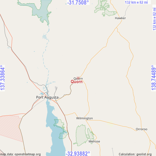
Quorn GPS coordinates[2]
32° 20' 48.336" South, 138° 2' 30.336" East
| Map corner | latitude | longitude |
|---|---|---|
| Upper-left | -31.7508°, | 137.33864° |
| Center: | -32.34676°, | 138.04176° |
| Lower-right: | -32.93882°, | 138.74489° |
| Map W x H: | 132.1×132.1 km | = 82.1×82.1mi |
| max Lat: | -10.58257° ⇑37.9% North |
| Quorn: | -32.34676° |
| min Lat: | ⇓62.1% South -43.31423° |
| min Long | Quorn | max Long |
| 113.53327° | 138.04176° | 153.61246° |
| W 14.7%⇐ | ⇒85.3% E |
Elevation
Elevation of Quorn is 298 m = 978 ft, and this is 176 m = 577 ft above average elevation for this country.
| Max E: |
1715 m = 5627 ft | 12.6% |
| Quorn | 298 m 978 ft | |
| Avg. | 122 m = 400 ft | |
Min E: |
-2 m = -7 ft | 87.4% |
See also: Australia elevation on elevation.city.
Geographical zone
Quorn is located in South temperate zone (between Tropic of Capricorn and the Antarctic Circle). Distance of this Southern Tropic circle is 990.7 km =615.6 mi to North.| Distance of | km | miles | from Quorn |
|---|---|---|---|
| Equator | 3596.6 | 2234.8 | to North |
| Tropic Capricorn | 990.7 | 615.6 | to North |
| Antarctic Circle | 3804.6 | 2364.1 | to South |
| South Pole | 6410.4 | 3983.2 | to South |


Nearby cities:
15 places around Quorn: (largest is in red/bold)
• Napperby
90.4 km =56.2 mi,  175°
175°
• Orroroo
68.8 km =42.8 mi,  128°
128°
• Port Augusta
30.2 km =18.8 mi,  236°
236°
• Port Augusta West
30.8 km =19.1 mi, 239°
• Port Pirie
94 km =58.4 mi, 181°
• Port Pirie West
92.5 km =57.5 mi, 182°
• Risdon Park
94.6 km =58.8 mi, 182°
• Solomontown
93.3 km =58 mi, 181°
• Stirling North
24.2 km =15 mi,  232°
232°
• Whyalla
88.4 km =54.9 mi,  210°
210°
• Whyalla Jenkins
89.9 km =55.9 mi, 213°
• Whyalla Norrie
89.3 km =55.5 mi, 211°
• Whyalla Playford
88 km =54.7 mi, 210°
• Whyalla Stuart
89.6 km =55.7 mi, 212°
• Wilmington
34.1 km =21.2 mi,  171°
171°
Sources, notices
• [Note1] Compared only with cities in Australia existing in our database
• [Src1] Map data: © OpenStreetMap contributors (CC-BY-SA)
• [Src2] Other city data from geonames.org with taken over terms of usage.
• [Src3] Geographical zone / Annual Mean Temperature by Robert A. Rohde @ Wikipedia
