Port Broughton geodata
Port Broughton (South Australia) is a populated place; located in Australia in Australia/Adelaide (GMT+10.5) time zone. With population of 1,214 people, there are 3562 cities with bigger population in this country. Compared to other cities in Australia, 52.6% of cities are located further ↓South; 85.5% of cities are located further →East and 88.3% of cities have higher elevation than Port Broughton. Note1


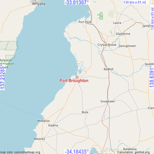
Port Broughton GPS coordinates[2]
33° 36' 2.52" South, 137° 56' 9.492" East
| Map corner | latitude | longitude |
|---|---|---|
| Upper-left | -33.01307°, | 137.23285° |
| Center: | -33.6007°, | 137.93597° |
| Lower-right: | -34.18435°, | 138.6391° |
| Map W x H: | 130.2×130.2 km | = 80.9×80.9mi |
| max Lat: | -10.58257° ⇑47.4% North |
| Port Broughton: | -33.6007° |
| min Lat: | ⇓52.6% South -43.31423° |
| min Long | Port Broughton | max Long |
| 113.53327° | 137.93597° | 153.61246° |
| W 14.5%⇐ | ⇒85.5% E |
Elevation
Elevation of Port Broughton is 10 m = 33 ft, and this is 112 m = 367 ft below average elevation for this country.
| Max E: |
1715 m = 5627 ft | 88.3% |
| Avg. | 122 m = 400 ft | |
| Port Broughton | 10 m = 33 ft | |
Min E: |
-2 m = -7 ft | 11.7% |
See also: Australia elevation on elevation.city.
Geographical zone
Port Broughton is located in South temperate zone (between Tropic of Capricorn and the Antarctic Circle). Distance of this Southern Tropic circle is 1130.1 km =702.2 mi to North.| Distance of | km | miles | from Port Broughton |
|---|---|---|---|
| Equator | 3736 | 2321.4 | to North |
| Tropic Capricorn | 1130.1 | 702.2 | to North |
| Antarctic Circle | 3665.1 | 2277.4 | to South |
| South Pole | 6271 | 3896.6 | to South |


Nearby cities:
15 places around Port Broughton: (largest is in red/bold)
• Crystal Brook
37.5 km =23.3 mi,  42°
42°
• Gladstone
53.9 km =33.5 mi,  46°
46°
• Kadina
45.3 km =28.1 mi,  206°
206°
• Laura
57.4 km =35.7 mi, 36°
• Moonta
61 km =37.9 mi, 211°
• Moonta Bay
60.5 km =37.6 mi, 214°
• Napperby
52.1 km =32.4 mi,  18°
18°
• North Moonta
59.4 km =36.9 mi, 212°
• Port Pirie
46.1 km =28.6 mi,  9°
9°
• Port Pirie South
45.4 km =28.2 mi, 9°
• Port Pirie West
47.4 km =29.5 mi, 7°
• Risdon Park
45.3 km =28.1 mi, 6°
• Risdon Park South
43.7 km =27.2 mi, 7°
• Solomontown
46.9 km =29.1 mi, 9°
• Wallaroo
46.8 km =29.1 mi,  216°
216°
Sources, notices
• [Note1] Compared only with cities in Australia existing in our database
• [Src1] Map data: © OpenStreetMap contributors (CC-BY-SA)
• [Src2] Other city data from geonames.org with taken over terms of usage.
• [Src3] Geographical zone / Annual Mean Temperature by Robert A. Rohde @ Wikipedia
