Mount Magnet geodata
Mount Magnet (Western Australia) is a populated place; located in Australia in Australia/Perth (GMT+8) time zone. With population of 660 people, there are 4408 cities with bigger population in this country. Compared to other cities in Australia, 75.7% of cities are located further ↓South; 90.1% of cities are located further →East and 91.5% of cities have lower elevation than Mount Magnet. Note1


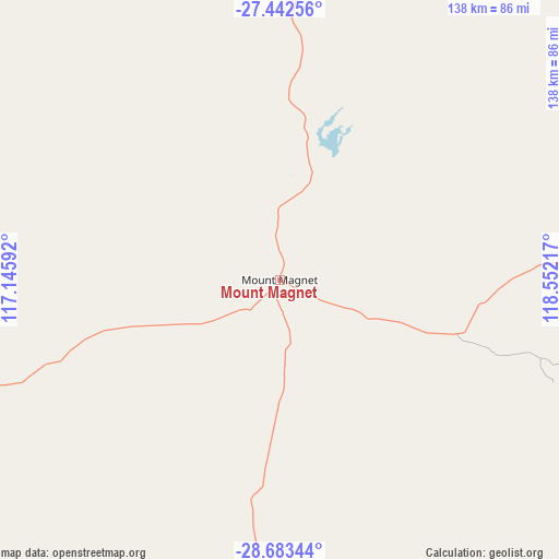
Mount Magnet GPS coordinates[2]
28° 3' 53.244" South, 117° 50' 56.544" East
| Map corner | latitude | longitude |
|---|---|---|
| Upper-left | -27.44256°, | 117.14592° |
| Center: | -28.06479°, | 117.84904° |
| Lower-right: | -28.68344°, | 118.55217° |
| Map W x H: | 138×138 km | = 85.7×85.7mi |
| max Lat: | -10.58257° ⇑24.3% North |
| Mount Magnet: | -28.06479° |
| min Lat: | ⇓75.7% South -43.31423° |
| min Long | Mount Magnet | max Long |
| 113.53327° | 117.84904° | 153.61246° |
| W 9.9%⇐ | ⇒90.1% E |
Elevation
Elevation of Mount Magnet is 429 m = 1407 ft, and this is 307 m = 1007 ft above average elevation for this country.
| Max E: |
1715 m = 5627 ft | 8.5% |
| Mount Magnet | 429 m 1407 ft | |
| Avg. | 122 m = 400 ft | |
Min E: |
-2 m = -7 ft | 91.5% |
See also: Australia elevation on elevation.city.
Geographical zone
Mount Magnet is located in South temperate zone (between Tropic of Capricorn and the Antarctic Circle). Distance of this Southern Tropic circle is 514.6 km =319.8 mi to North.| Distance of | km | miles | from Mount Magnet |
|---|---|---|---|
| Equator | 3120.5 | 1939 | to North |
| Tropic Capricorn | 514.6 | 319.8 | to North |
| Antarctic Circle | 4280.7 | 2659.9 | to South |
| South Pole | 6886.5 | 4279.1 | to South |


Nearby cities:
15 places around Mount Magnet: (largest is in red/bold)
• Dalwallinu
272.1 km =169.1 mi,  205°
205°
• Deepdale
318.7 km =198 mi,  255°
255°
• Dongara
313.9 km =195 mi,  244°
244°
• Leinster
280 km =174 mi,  86°
86°
• Meekatharra
175.4 km =109 mi,  21°
21°
• Melville
110.2 km =68.5 mi, 263°
• Morawa
220.4 km =137 mi,  234°
234°
• Moresby
319.5 km =198.5 mi, 256°
• Mullewa
234.8 km =145.9 mi, 257°
• Northampton
316.2 km =196.5 mi, 264°
• Port Denison
315.7 km =196.2 mi, 244°
• Waggrakine
322.3 km =200.3 mi, 256°
• Wiluna
286.1 km =177.8 mi,  55°
55°
• Woorree
321.7 km =199.9 mi, 255°
• Yalgoo
118.4 km =73.6 mi,  254°
254°
Sources, notices
• [Note1] Compared only with cities in Australia existing in our database
• [Src1] Map data: © OpenStreetMap contributors (CC-BY-SA)
• [Src2] Other city data from geonames.org with taken over terms of usage.
• [Src3] Geographical zone / Annual Mean Temperature by Robert A. Rohde @ Wikipedia
