Melville geodata
Melville (Western Australia) is a populated place; located in Australia in Australia/Perth (GMT+8) time zone. With population of 4,822 people, there are 1527 cities with bigger population in this country. Compared to other cities in Australia, 75.2% of cities are located further ↓South; 90.8% of cities are located further →East and 90.1% of cities have lower elevation than Melville. Note1


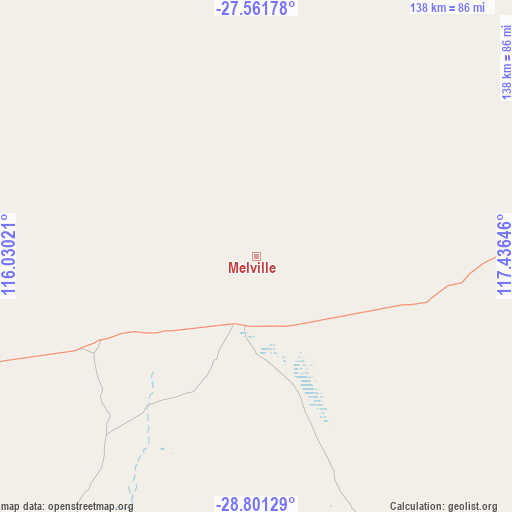
Melville GPS coordinates[2]
28° 10' 59.988" South, 116° 43' 59.988" East
| Map corner | latitude | longitude |
|---|---|---|
| Upper-left | -27.56178°, | 116.03021° |
| Center: | -28.18333°, | 116.73333° |
| Lower-right: | -28.80129°, | 117.43646° |
| Map W x H: | 137.8×137.8 km | = 85.6×85.6mi |
| max Lat: | -10.58257° ⇑24.8% North |
| Melville: | -28.18333° |
| min Lat: | ⇓75.2% South -43.31423° |
| min Long | Melville | max Long |
| 113.53327° | 116.73333° | 153.61246° |
| W 9.2%⇐ | ⇒90.8% E |
Elevation
Elevation of Melville is 379 m = 1243 ft, and this is 257 m = 843 ft above average elevation for this country.
| Max E: |
1715 m = 5627 ft | 9.9% |
| Melville | 379 m 1243 ft | |
| Avg. | 122 m = 400 ft | |
Min E: |
-2 m = -7 ft | 90.1% |
See also: Australia elevation on elevation.city.
Geographical zone
Melville is located in South temperate zone (between Tropic of Capricorn and the Antarctic Circle). Distance of this Southern Tropic circle is 527.8 km =328 mi to North.| Distance of | km | miles | from Melville |
|---|---|---|---|
| Equator | 3133.7 | 1947.2 | to North |
| Tropic Capricorn | 527.8 | 328 | to North |
| Antarctic Circle | 4267.5 | 2651.7 | to South |
| South Pole | 6873.4 | 4270.9 | to South |


Nearby cities:
15 places around Melville: (largest is in red/bold)
• Deepdale
210.2 km =130.6 mi,  251°
251°
• Dongara
212.4 km =132 mi,  235°
235°
• Glenfield
214.1 km =133 mi, 254°
• Morawa
134.6 km =83.6 mi,  211°
211°
• Moresby
210.6 km =130.9 mi, 253°
• Mount Magnet
110.2 km =68.5 mi,  83°
83°
• Mullewa
125.9 km =78.2 mi, 251°
• Northampton
206 km =128 mi,  264°
264°
• Port Denison
214.3 km =133.2 mi, 235°
• Spalding
214 km =133 mi, 253°
• Strathalbyn
213.6 km =132.7 mi, 252°
• Utakarra
214.3 km =133.2 mi, 251°
• Waggrakine
213.2 km =132.5 mi, 253°
• Woorree
213 km =132.4 mi, 252°
• Yalgoo
18.5 km =11.5 mi,  195°
195°
Sources, notices
• [Note1] Compared only with cities in Australia existing in our database
• [Src1] Map data: © OpenStreetMap contributors (CC-BY-SA)
• [Src2] Other city data from geonames.org with taken over terms of usage.
• [Src3] Geographical zone / Annual Mean Temperature by Robert A. Rohde @ Wikipedia
