Winton geodata
Winton (Queensland) is a populated place; located in Australia in Australia/Brisbane (GMT+10) time zone. With population of 1,238 people, there are 3528 cities with bigger population in this country. Compared to other cities in Australia, 92.6% of cities are located further ↓South; 74% of cities are located further →East and 80.6% of cities have lower elevation than Winton. Note1


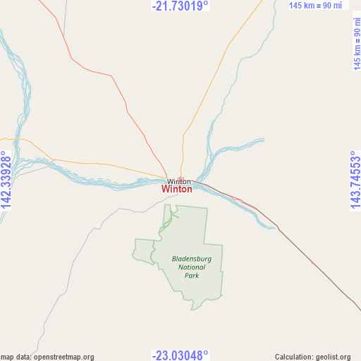
Winton GPS coordinates[2]
22° 22' 54.66" South, 143° 2' 32.64" East
| Map corner | latitude | longitude |
|---|---|---|
| Upper-left | -21.73019°, | 142.33928° |
| Center: | -22.38185°, | 143.0424° |
| Lower-right: | -23.03048°, | 143.74553° |
| Map W x H: | 144.6×144.6 km | = 89.9×89.9mi |
| max Lat: | -10.58257° ⇑7.4% North |
| Winton: | -22.38185° |
| min Lat: | ⇓92.6% South -43.31423° |
| min Long | Winton | max Long |
| 113.53327° | 143.0424° | 153.61246° |
| W 26%⇐ | ⇒74% E |
Elevation
Elevation of Winton is 188 m = 617 ft, and this is 66 m = 217 ft above average elevation for this country.
| Max E: |
1715 m = 5627 ft | 19.4% |
| Winton | 188 m 617 ft | |
| Avg. | 122 m = 400 ft | |
Min E: |
-2 m = -7 ft | 80.6% |
See also: Australia elevation on elevation.city.
Geographical zone
Winton is located in South Torrid zone (between Equator and Tropic of Capricorn). Distance of this Southern Tropic circle is 117.3 km =72.9 mi to South.| Distance of | km | miles | from Winton |
|---|---|---|---|
| Equator | 2488.6 | 1546.3 | to North |
| Tropic Capricorn | 117.3 | 72.9 | to South |
| Antarctic Circle | 4912.5 | 3052.5 | to South |
| South Pole | 7518.4 | 4671.7 | to South |


Nearby cities:
15 places around Winton: (largest is in red/bold)
• Barcaldine
264 km =164 mi,  119°
119°
• Blackall
335.4 km =208.4 mi,  132°
132°
• Cloncurry
321.1 km =199.5 mi,  305°
305°
• Happy Valley
409.7 km =254.6 mi,  296°
296°
• Healy
409 km =254.1 mi, 296°
• Hughenden
208.7 km =129.7 mi,  34°
34°
• Julia Creek
234.4 km =145.6 mi,  324°
324°
• Longreach
170.8 km =106.1 mi, 133°
• McKinlay
218.4 km =135.7 mi, 304°
• Mornington
409.9 km =254.7 mi, 296°
• Mount Isa
410.3 km =254.9 mi, 296°
• Pioneer
409.5 km =254.5 mi, 296°
• Richmond
183.7 km =114.1 mi,  3°
3°
• Sunset
410 km =254.8 mi, 296°
• Townview
409.2 km =254.3 mi, 296°
Sources, notices
• [Note1] Compared only with cities in Australia existing in our database
• [Src1] Map data: © OpenStreetMap contributors (CC-BY-SA)
• [Src2] Other city data from geonames.org with taken over terms of usage.
• [Src3] Geographical zone / Annual Mean Temperature by Robert A. Rohde @ Wikipedia
