West Strahan geodata
West Strahan (Tasmania) is a populated place; located in Australia in Australia/Hobart (GMT+11) time zone. With population of 637 people, there are 4477 cities with bigger population in this country. Compared to other cities in Australia, 98.1% of cities are located further ↑North; 61.3% of cities are located further →East and 93.8% of cities have higher elevation than West Strahan. Note1


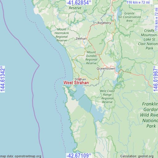
West Strahan GPS coordinates[2]
42° 9' 7.056" South, 145° 18' 59.544" East
| Map corner | latitude | longitude |
|---|---|---|
| Upper-left | -41.62854°, | 144.61342° |
| Center: | -42.15196°, | 145.31654° |
| Lower-right: | -42.67109°, | 146.01967° |
| Map W x H: | 115.9×115.9 km | = 72×72mi |
| max Lat: | -10.58257° ⇑98.1% North |
| West Strahan: | -42.15196° |
| min Lat: | ⇓1.9% South -43.31423° |
| min Long | West Strahan | max Long |
| 113.53327° | 145.31654° | 153.61246° |
| W 38.7%⇐ | ⇒61.3% E |
Elevation
Elevation of West Strahan is 7 m = 23 ft, and this is 115 m = 377 ft below average elevation for this country.
| Max E: |
1715 m = 5627 ft | 93.8% |
| Avg. | 122 m = 400 ft | |
| West Strahan | 7 m = 23 ft | |
Min E: |
-2 m = -7 ft | 6.2% |
See also: Australia elevation on elevation.city.
Geographical zone
West Strahan is located in South temperate zone (between Tropic of Capricorn and the Antarctic Circle). Distance of this Southern Tropic circle is 2080.9 km =1293 mi to North.| Distance of | km | miles | from West Strahan |
|---|---|---|---|
| Equator | 4686.9 | 2912.3 | to North |
| Tropic Capricorn | 2080.9 | 1293 | to North |
| Antarctic Circle | 2714.3 | 1686.6 | to South |
| South Pole | 5320.2 | 3305.8 | to South |


Nearby cities:
15 places around West Strahan: (largest is in red/bold)
• Brooklyn
129.7 km =80.6 mi,  22°
22°
• Forth
129.1 km =80.2 mi,  35°
35°
• Gawler
127.4 km =79.2 mi,  33°
33°
• Havenview
128.7 km =80 mi, 22°
• Mole Creek
110.4 km =68.6 mi,  54°
54°
• Queenstown
21.3 km =13.2 mi,  68°
68°
• Railton
128.3 km =79.7 mi, 45°
• Ridgley
118.9 km =73.9 mi, 21°
• Romaine
126.5 km =78.6 mi, 22°
• Rosebery
45.3 km =28.1 mi, 23°
• Sheffield
119.1 km =74 mi, 45°
• Shorewell Park
129 km =80.2 mi, 21°
• Strahan
0.9 km =0.6 mi,  89°
89°
• Upper Burnie
129.6 km =80.5 mi, 21°
• Zeehan
29.9 km =18.6 mi,  3°
3°
Sources, notices
• [Note1] Compared only with cities in Australia existing in our database
• [Src1] Map data: © OpenStreetMap contributors (CC-BY-SA)
• [Src2] Other city data from geonames.org with taken over terms of usage.
• [Src3] Geographical zone / Annual Mean Temperature by Robert A. Rohde @ Wikipedia
