Mullion Creek geodata
Mullion Creek (New South Wales) is a populated place; located in Australia in Australia/Sydney (GMT+11) time zone. With population of 534 people, there are 4768 cities with bigger population in this country. Compared to other cities in Australia, 56.6% of cities are located further ↓South; 54.4% of cities are located further ←West and 99.5% of cities have lower elevation than Mullion Creek. Note1


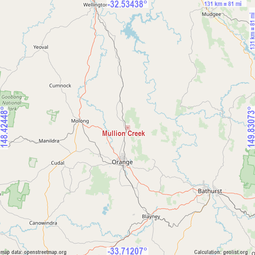
Mullion Creek GPS coordinates[2]
33° 7' 30.72" South, 149° 7' 39.36" East
| Map corner | latitude | longitude |
|---|---|---|
| Upper-left | -32.53438°, | 148.42448° |
| Center: | -33.1252°, | 149.1276° |
| Lower-right: | -33.71207°, | 149.83073° |
| Map W x H: | 130.9×130.9 km | = 81.3×81.3mi |
| max Lat: | -10.58257° ⇑43.4% North |
| Mullion Creek: | -33.1252° |
| min Lat: | ⇓56.6% South -43.31423° |
| min Long | Mullion Creek | max Long |
| 113.53327° | 149.1276° | 153.61246° |
| W 54.4%⇐ | ⇒45.6% E |
Elevation
Elevation of Mullion Creek is 949 m = 3114 ft, and this is 827 m = 2713 ft above average elevation for this country.
| Max E: |
1715 m = 5627 ft | 0.5% |
| Mullion Creek | 949 m 3114 ft | |
| Avg. | 122 m = 400 ft | |
Min E: |
-2 m = -7 ft | 99.5% |
See also: Australia elevation on elevation.city.
Geographical zone
Mullion Creek is located in South temperate zone (between Tropic of Capricorn and the Antarctic Circle). Distance of this Southern Tropic circle is 1077.3 km =669.4 mi to North.| Distance of | km | miles | from Mullion Creek |
|---|---|---|---|
| Equator | 3683.2 | 2288.6 | to North |
| Tropic Capricorn | 1077.3 | 669.4 | to North |
| Antarctic Circle | 3718 | 2310.3 | to South |
| South Pole | 6323.9 | 3929.5 | to South |


Nearby cities:
15 places around Mullion Creek: (largest is in red/bold)
• Abercrombie
48.7 km =30.3 mi,  126°
126°
• Blayney
46.8 km =29.1 mi,  165°
165°
• Cargo
44.5 km =27.7 mi,  221°
221°
• Clifton Grove
14.6 km =9.1 mi, 169°
• Cudal
40.2 km =25 mi,  243°
243°
• Eglinton
48 km =29.8 mi, 125°
• Forest Reefs
38 km =23.6 mi,  186°
186°
• Llanarth
49.6 km =30.8 mi, 127°
• Manildra
41.3 km =25.7 mi,  261°
261°
• Millthorpe
36.1 km =22.4 mi, 171°
• Molong
24.3 km =15.1 mi,  278°
278°
• Orange
17.8 km =11.1 mi, 188°
• Robin Hill
50.1 km =31.1 mi, 131°
• West Bathurst
51.4 km =31.9 mi, 127°
• Windradyne
49.8 km =30.9 mi, 128°
Sources, notices
• [Note1] Compared only with cities in Australia existing in our database
• [Src1] Map data: © OpenStreetMap contributors (CC-BY-SA)
• [Src2] Other city data from geonames.org with taken over terms of usage.
• [Src3] Geographical zone / Annual Mean Temperature by Robert A. Rohde @ Wikipedia
