Forest Reefs geodata
Forest Reefs (New South Wales) is a section of populated place; located in Australia in Australia/Sydney (GMT+11) time zone. With population of 512 people, there are 4847 cities with bigger population in this country. Compared to other cities in Australia, 53.8% of cities are located further ↓South; 53.5% of cities are located further ←West and 99.5% of cities have lower elevation than Forest Reefs. Note1


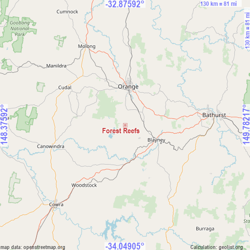
Forest Reefs GPS coordinates[2]
33° 27' 52.092" South, 149° 4' 44.544" East
| Map corner | latitude | longitude |
|---|---|---|
| Upper-left | -32.87592°, | 148.37592° |
| Center: | -33.46447°, | 149.07904° |
| Lower-right: | -34.04905°, | 149.78217° |
| Map W x H: | 130.4×130.4 km | = 81×81mi |
| max Lat: | -10.58257° ⇑46.2% North |
| Forest Reefs: | -33.46447° |
| min Lat: | ⇓53.8% South -43.31423° |
| min Long | Forest Reefs | max Long |
| 113.53327° | 149.07904° | 153.61246° |
| W 53.5%⇐ | ⇒46.5% E |
Elevation
Elevation of Forest Reefs is 945 m = 3100 ft, and this is 823 m = 2700 ft above average elevation for this country.
| Max E: |
1715 m = 5627 ft | 0.5% |
| Forest Reefs | 945 m 3100 ft | |
| Avg. | 122 m = 400 ft | |
Min E: |
-2 m = -7 ft | 99.5% |
See also: Australia elevation on elevation.city.
Geographical zone
Forest Reefs is located in South temperate zone (between Tropic of Capricorn and the Antarctic Circle). Distance of this Southern Tropic circle is 1115 km =692.8 mi to North.| Distance of | km | miles | from Forest Reefs |
|---|---|---|---|
| Equator | 3720.9 | 2312.1 | to North |
| Tropic Capricorn | 1115 | 692.8 | to North |
| Antarctic Circle | 3680.3 | 2286.8 | to South |
| South Pole | 6286.2 | 3906.1 | to South |


Nearby cities:
15 places around Forest Reefs: (largest is in red/bold)
• Abercrombie
44.1 km =27.4 mi,  78°
78°
• Blayney
17.9 km =11.1 mi,  114°
114°
• Canowindra
40 km =24.9 mi,  254°
254°
• Cargo
25.5 km =15.8 mi,  280°
280°
• Clifton Grove
24.4 km =15.2 mi,  17°
17°
• Cudal
37.2 km =23.1 mi,  302°
302°
• Eglinton
44.5 km =27.7 mi, 77°
• Llanarth
44.4 km =27.6 mi, 80°
• Millthorpe
10.1 km =6.3 mi, 78°
• Mullion Creek
38 km =23.6 mi,  6°
6°
• Orange
20.2 km =12.6 mi, 5°
• Perthville
43.4 km =27 mi,  93°
93°
• Robin Hill
42.4 km =26.3 mi, 83°
• Windradyne
43.7 km =27.2 mi, 81°
• Woodstock
37.7 km =23.4 mi,  214°
214°
Sources, notices
• [Note1] Compared only with cities in Australia existing in our database
• [Src1] Map data: © OpenStreetMap contributors (CC-BY-SA)
• [Src2] Other city data from geonames.org with taken over terms of usage.
• [Src3] Geographical zone / Annual Mean Temperature by Robert A. Rohde @ Wikipedia
